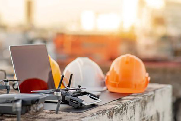
INTRODUCING DRONES IN CONSTRUCTION
In the realm of construction, the integration of drones has proven to be a transformative force, facilitating expedited work processes, enhanced safety measures, and cost-effectiveness. Whether you are an architect seeking validation for your creative vision, a vigilant site foreman overseeing crew activities, or a client closely monitoring the advancement of your new headquarters, drones offer essential imagery, data, and consistency, revolutionizing the construction process for improved efficiency and reduced costs. In the following sections, we will explore some impactful applications of drones in construction and highlight top-notch drone models tailored for specific tasks.
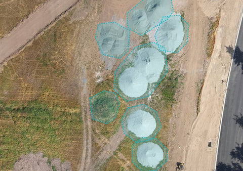
SITE SURVEYS, STOCKPILE ANALISYS AND PLANNING
Initiating construction on a new site requires meticulous understanding of existing features and topography to optimize the utilization of computerized planning and Building Information Modeling (BIM) systems. Construction drones excel in providing accurate measurements through visible light cameras and various sensors. By capturing precise 3D maps and distance measurements, these drones empower construction teams to analyze data seamlessly in the project trailer, ensuring a comprehensive and informed approach to site surveys and planning.
For your first experience in surveying a site, we recommend starting with a rugged but easy-to-use construction drone such as the Mavic 3 Enterprise. The Mavic 3 Enterprise can create both straight down 2D surveys and, using a variety of intelligent flight planning apps, make a second pass at an angle so that you can automatically assemble an accurate 3D model. All of these capabilities are possible with an easy-to-fly drone that costs just a little more than a toy!
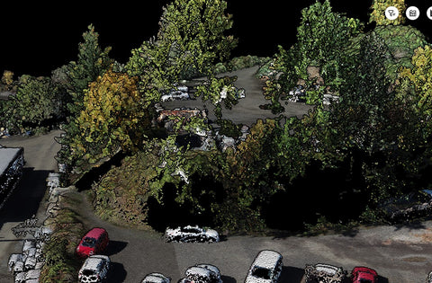
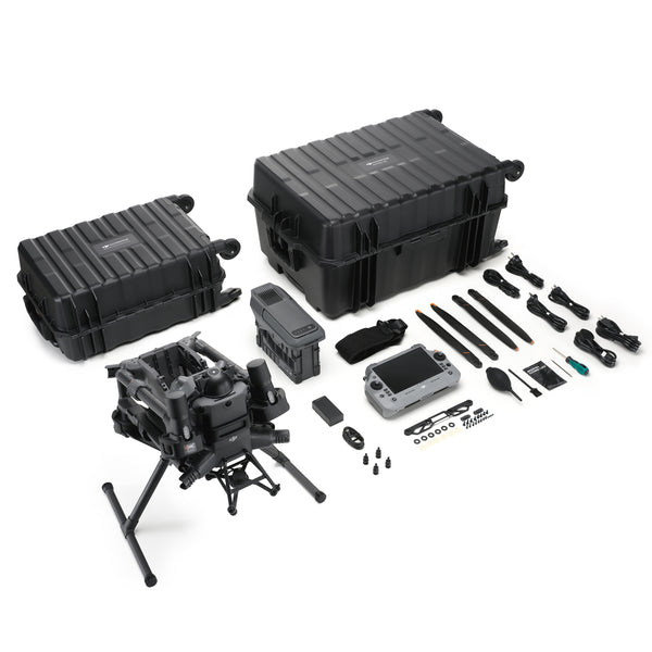
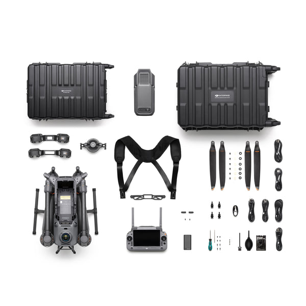
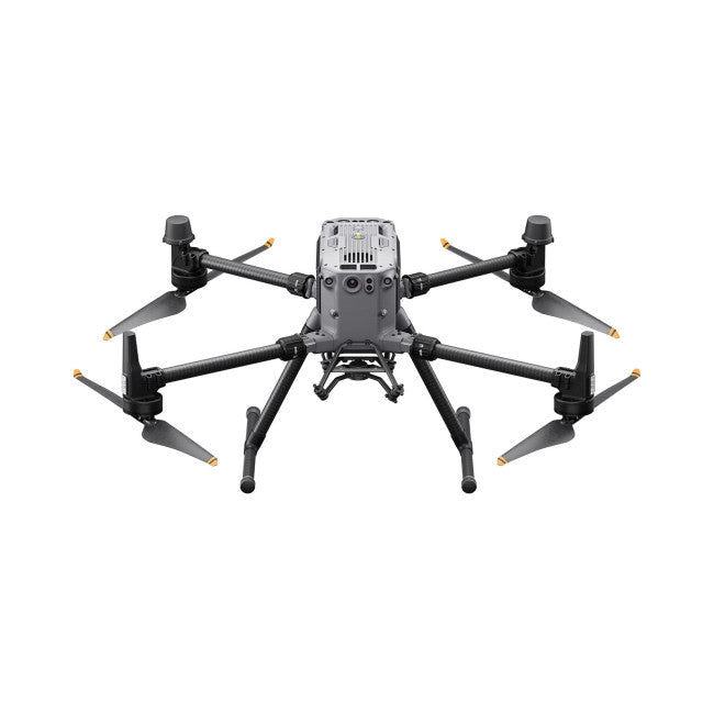
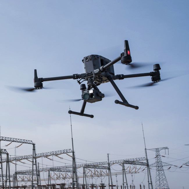
For users seeking enhanced capabilities, a recommended upgrade involves transitioning to a lidar-equipped drone, such as the DJI Matrice 350 RTK with the DJI Zenmuse L2 lidar system. Lidar modules employ numerous pulsed laser beams to intricately measure objects, generating millions of data points. These 3D point clouds can then be transformed into a cohesive 3D object, providing precise representations of even the most intricate environments.
Various lidar options exist, catering to specific needs based on your use case, desired accuracy levels, and the extent of area coverage required.