


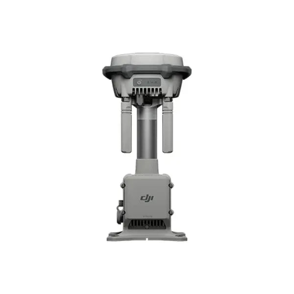
DJI - D-RTK 2 Mobile Station Pole Base (lower) - Replacement
Sale price$160.00
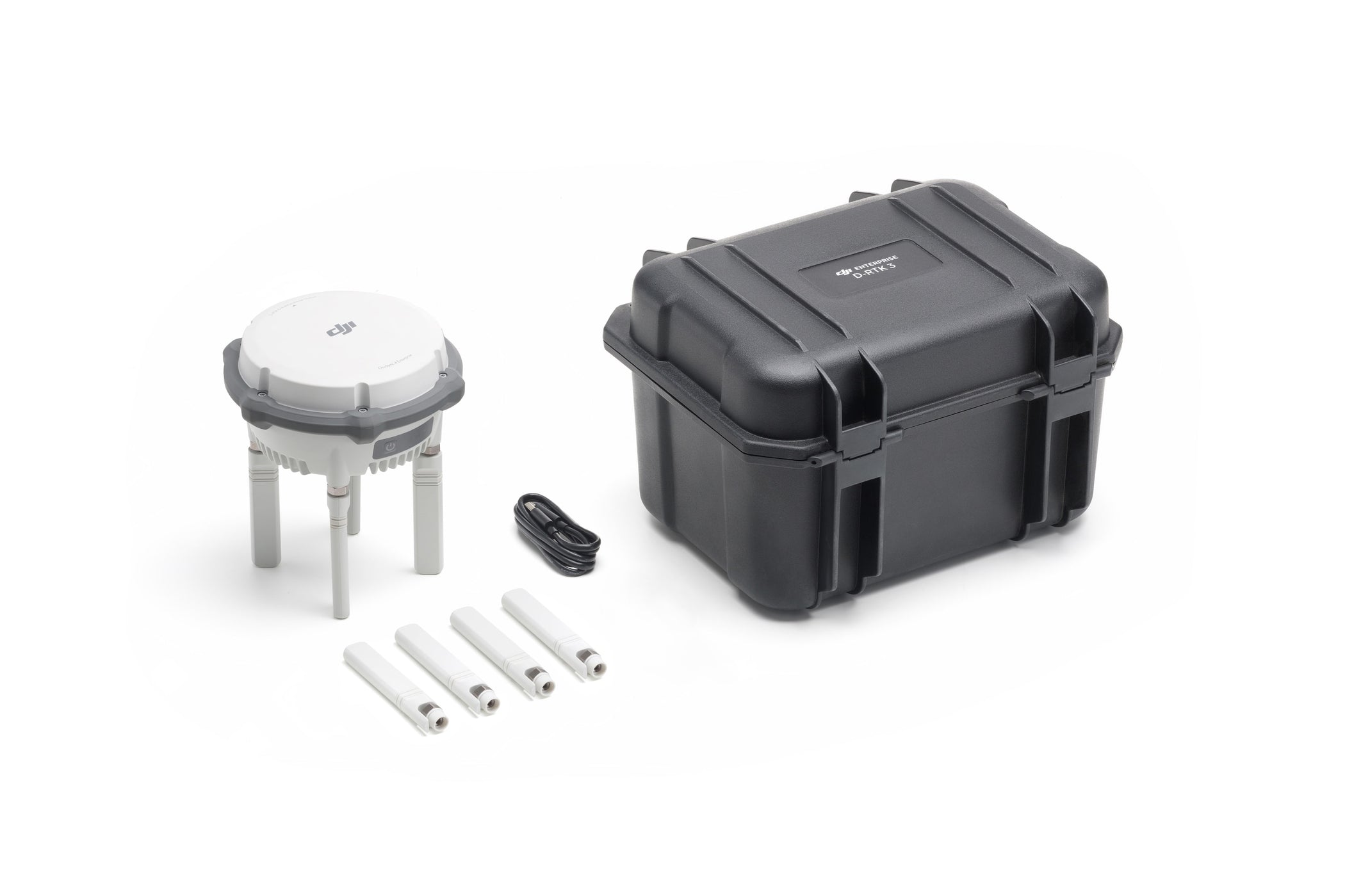
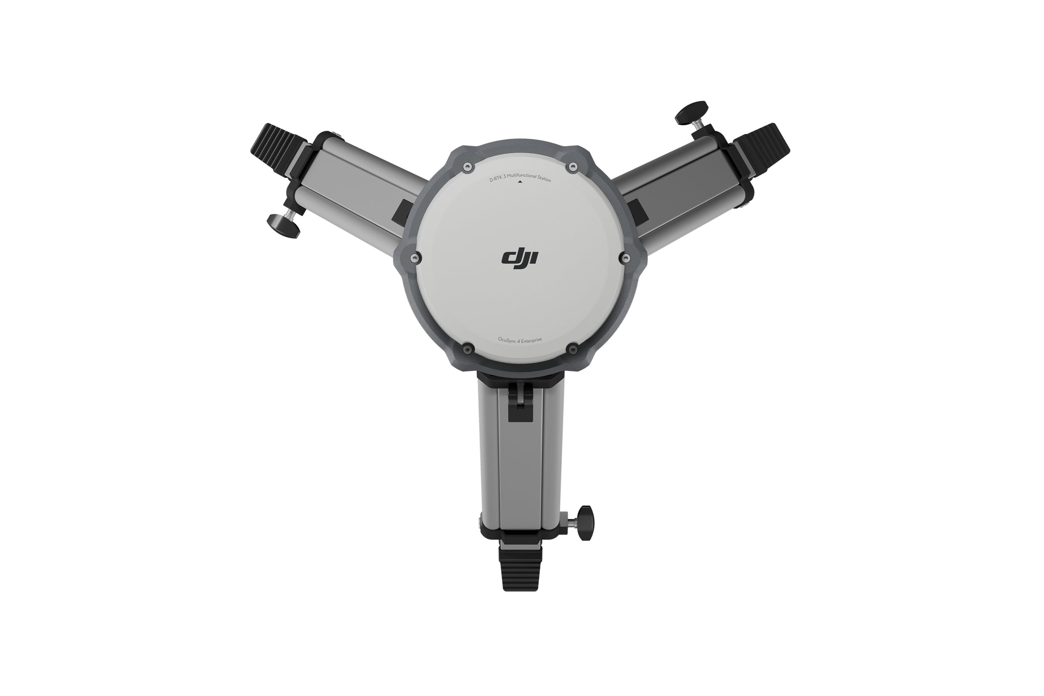
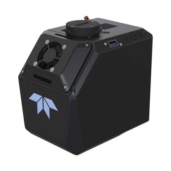
DJI - D-RTK 3 Multifunctional Station
Sale price$2,150.00
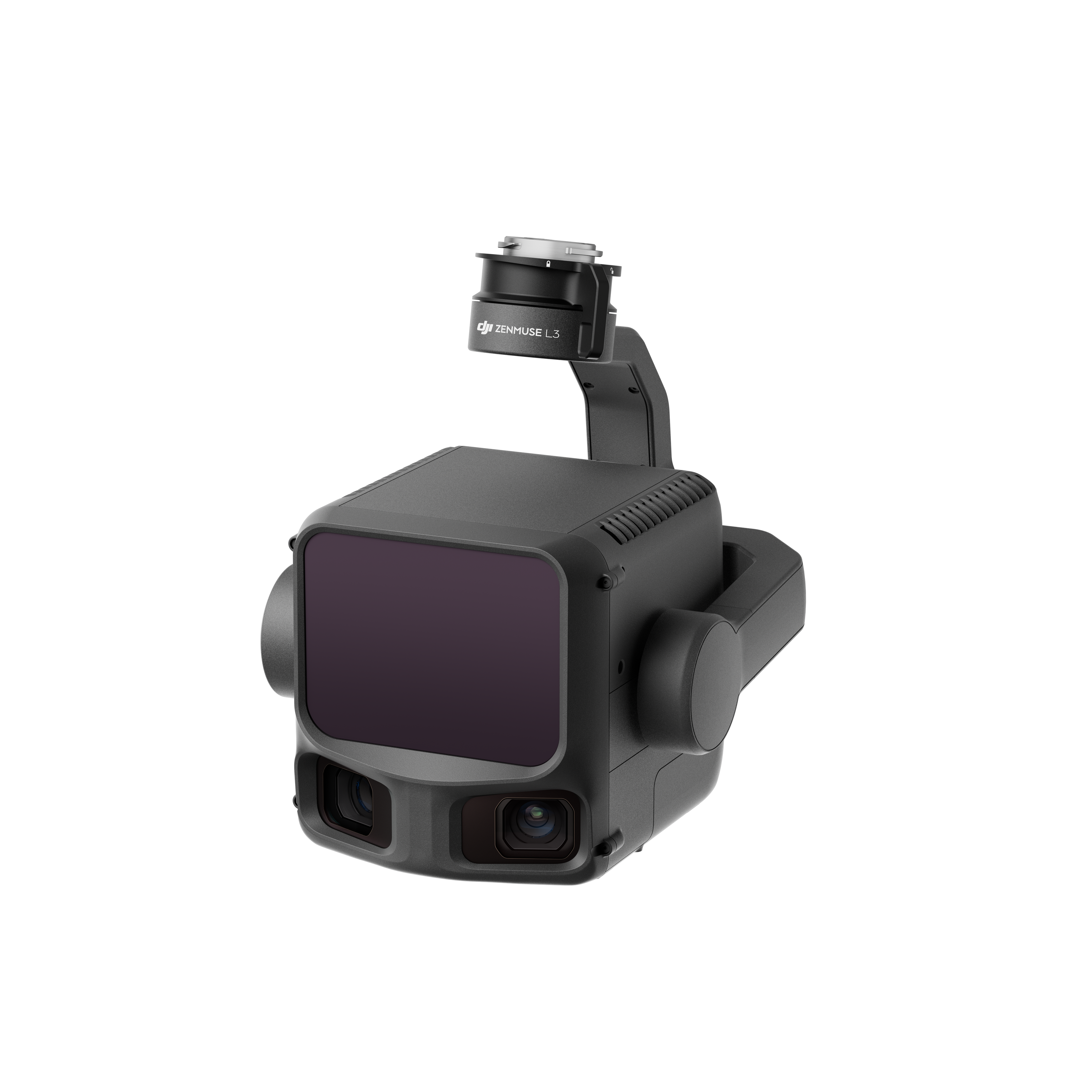
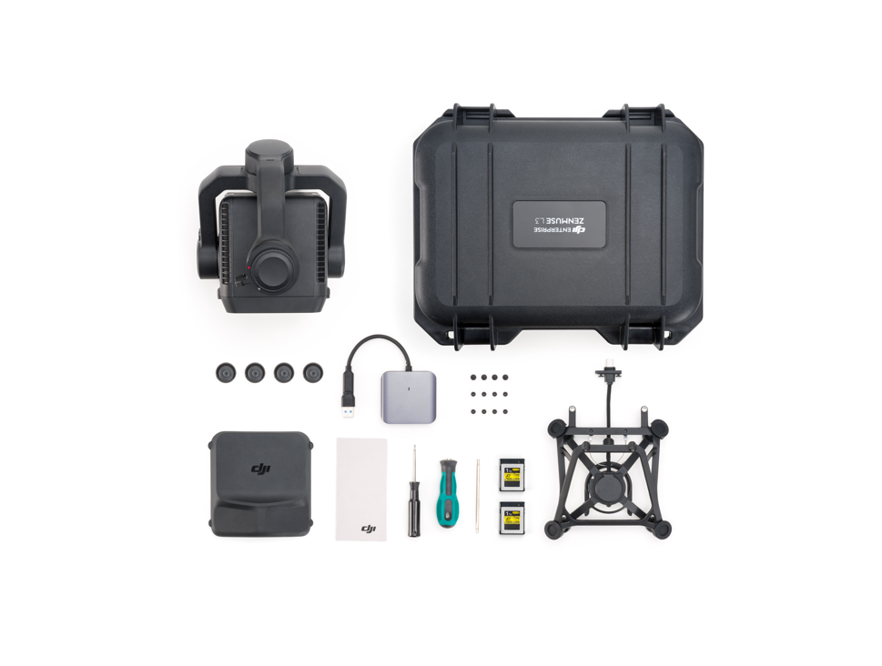
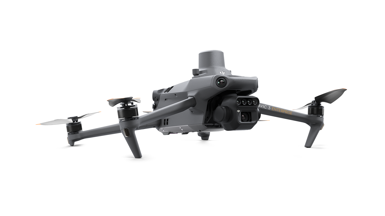
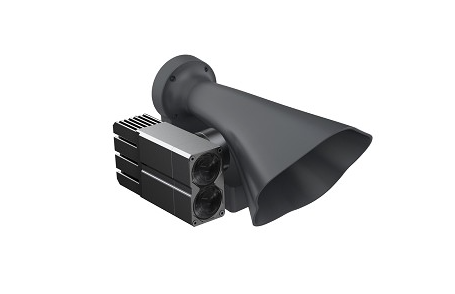
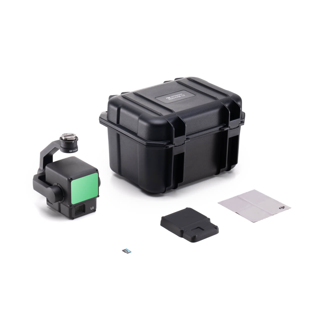
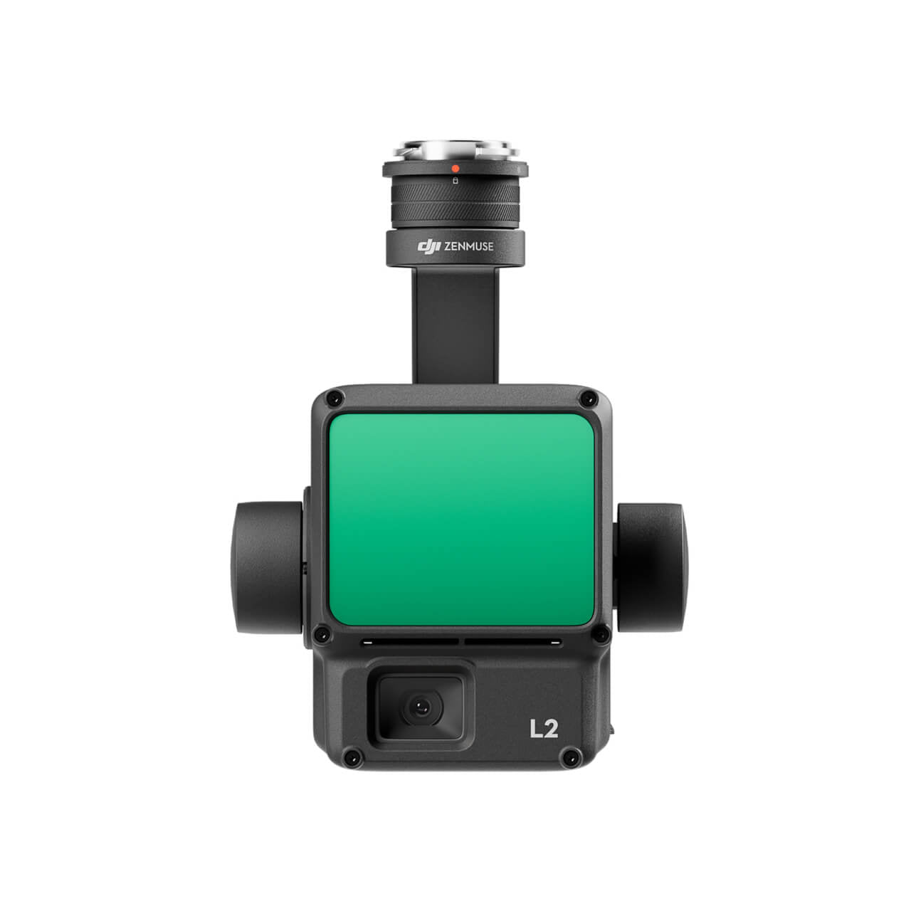
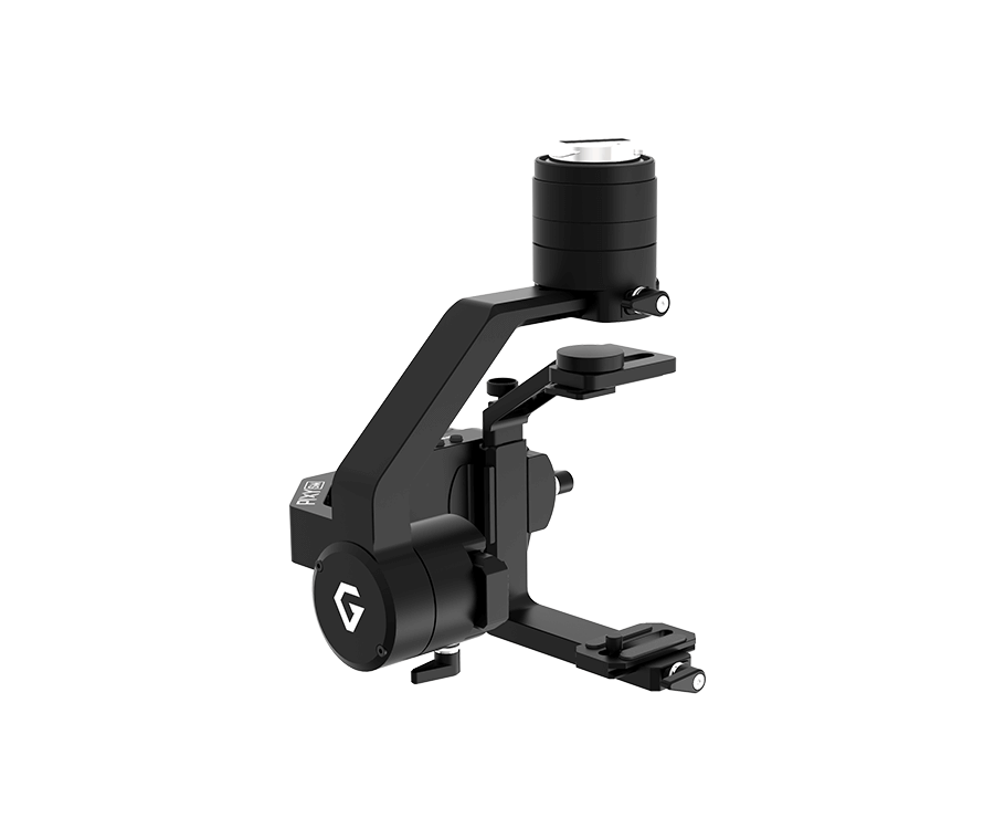
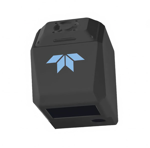
DJI - Zenmuse L3 Lidar Combo
Sale price$17,400.00
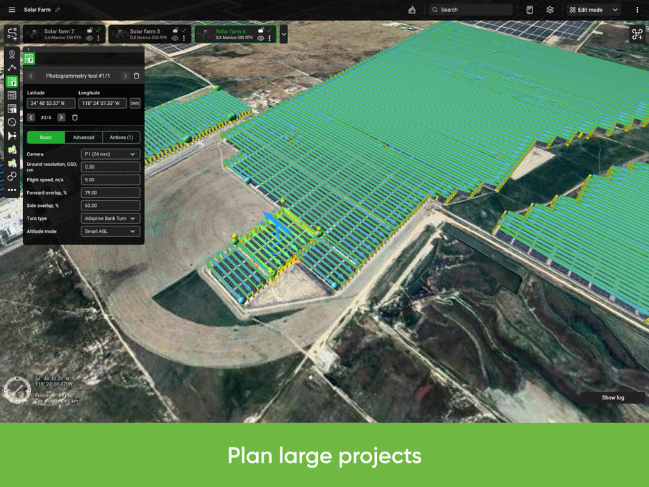
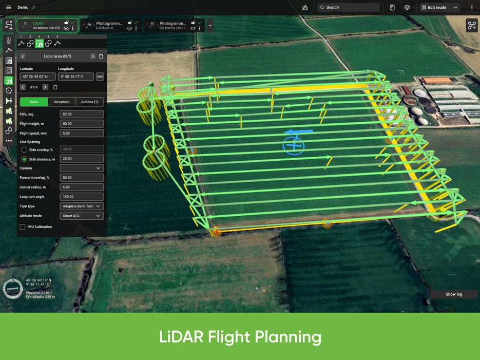
UgCS - Pro Perpetual
Sale price$937.00
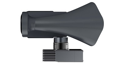
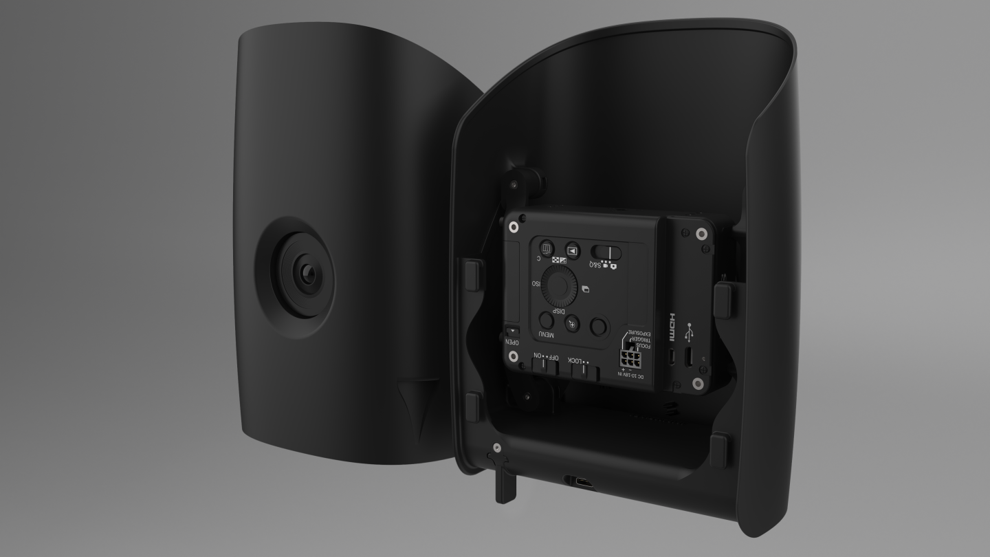
CZI - LP12 Speaker And Spotlight For DJI Matrice 30 Series
Sale price$2,399.00

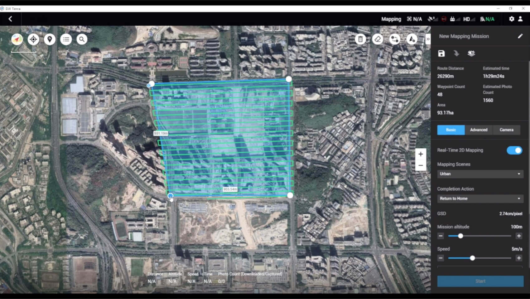
DJI Terra Mapping software
Sale priceFrom $1,680.00


Quantum Systems - Trinity Pro
Sale price$24,449.00
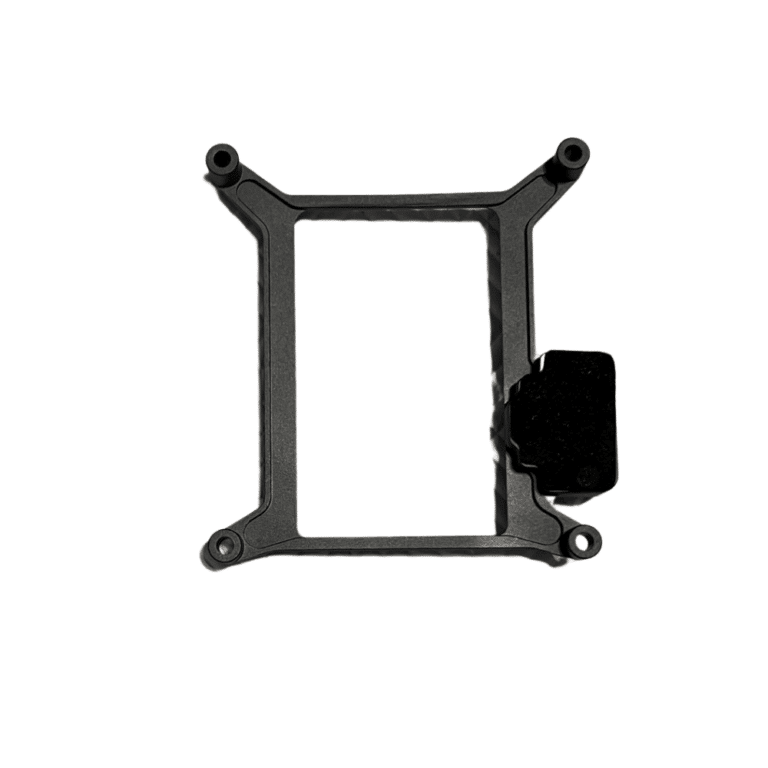
CZI - Upper Pod Connector for LP12
Sale price$89.00
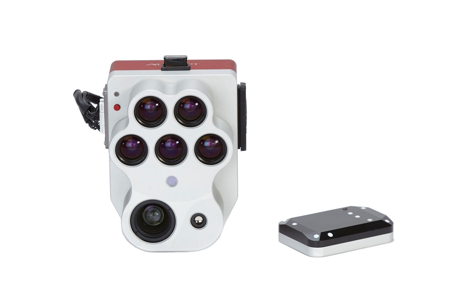
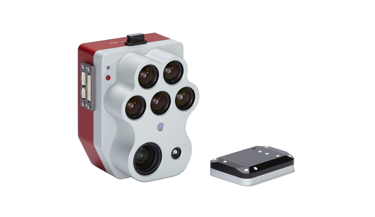
Micasense - Altum-PT Sensor Kit
Sale price$15,495.00

UgCS - Expert Perpetual
Sale price$1,767.00

DJI - Flight Hub 2
Sale priceFrom $160.00
UgCS - PRO Annual Support & Updates
Sale price$236.00
Data Processing
Sale price$125.00
Quantum Systems - Trinity Pro Sony ILX-LR1 Payload Bay
Sale price$12,108.35


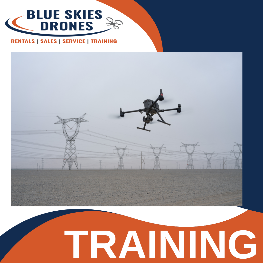
Training - Matrice 30 Series Product Training
Sale price$1,500.00


LiDAR Mapping Training
Sale price$2,500.00
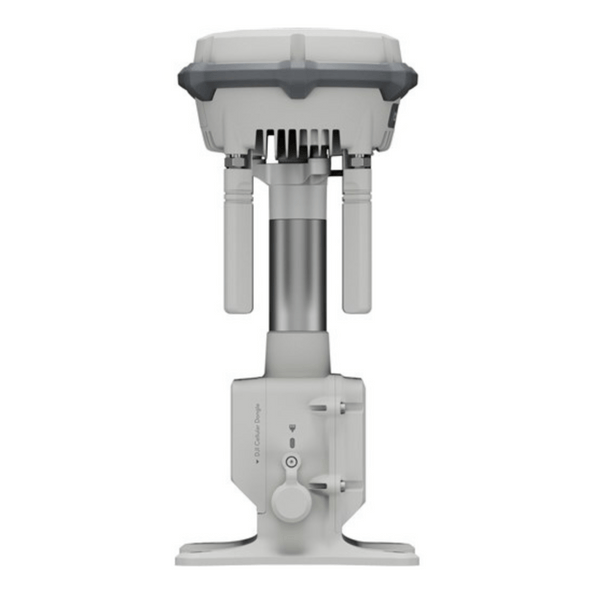
DJI - D-RTK 3 Relay Fixed Deployment Version
Sale price$3,333.00