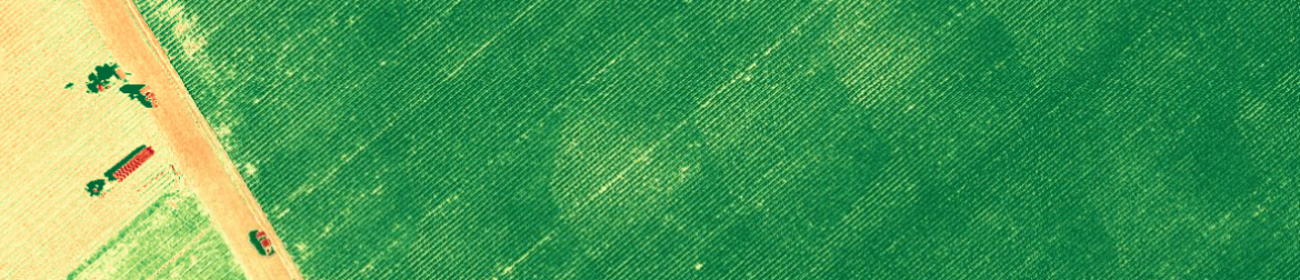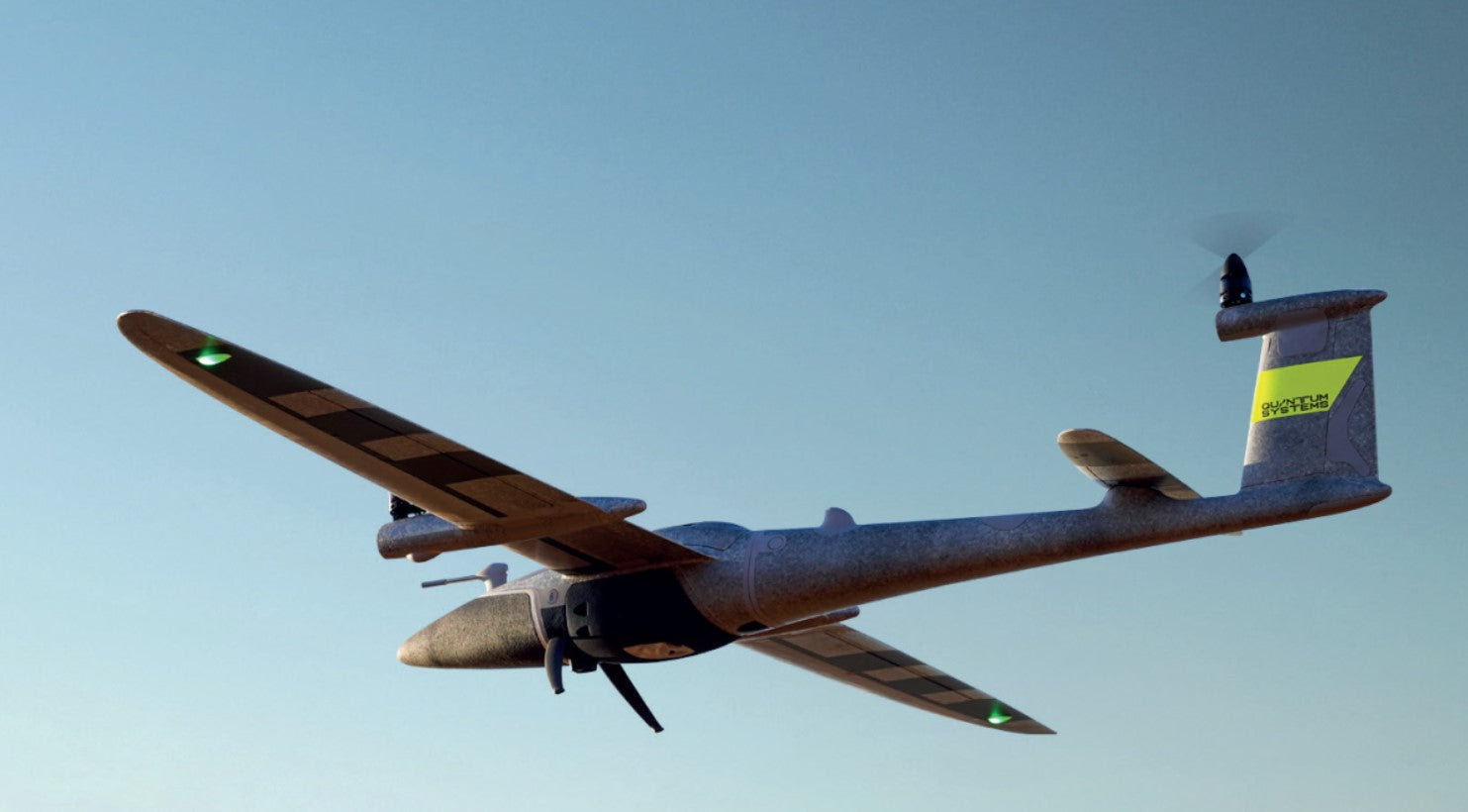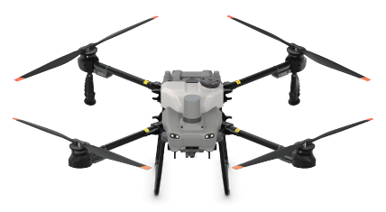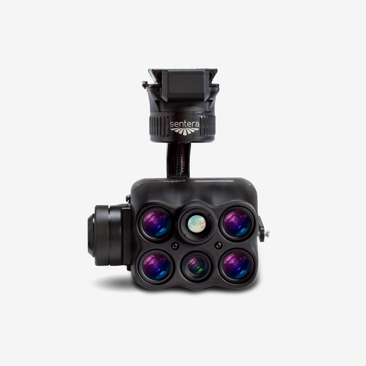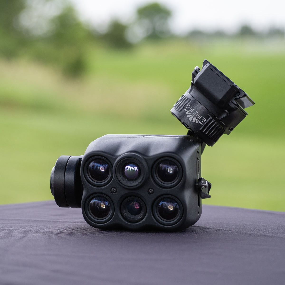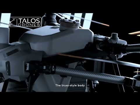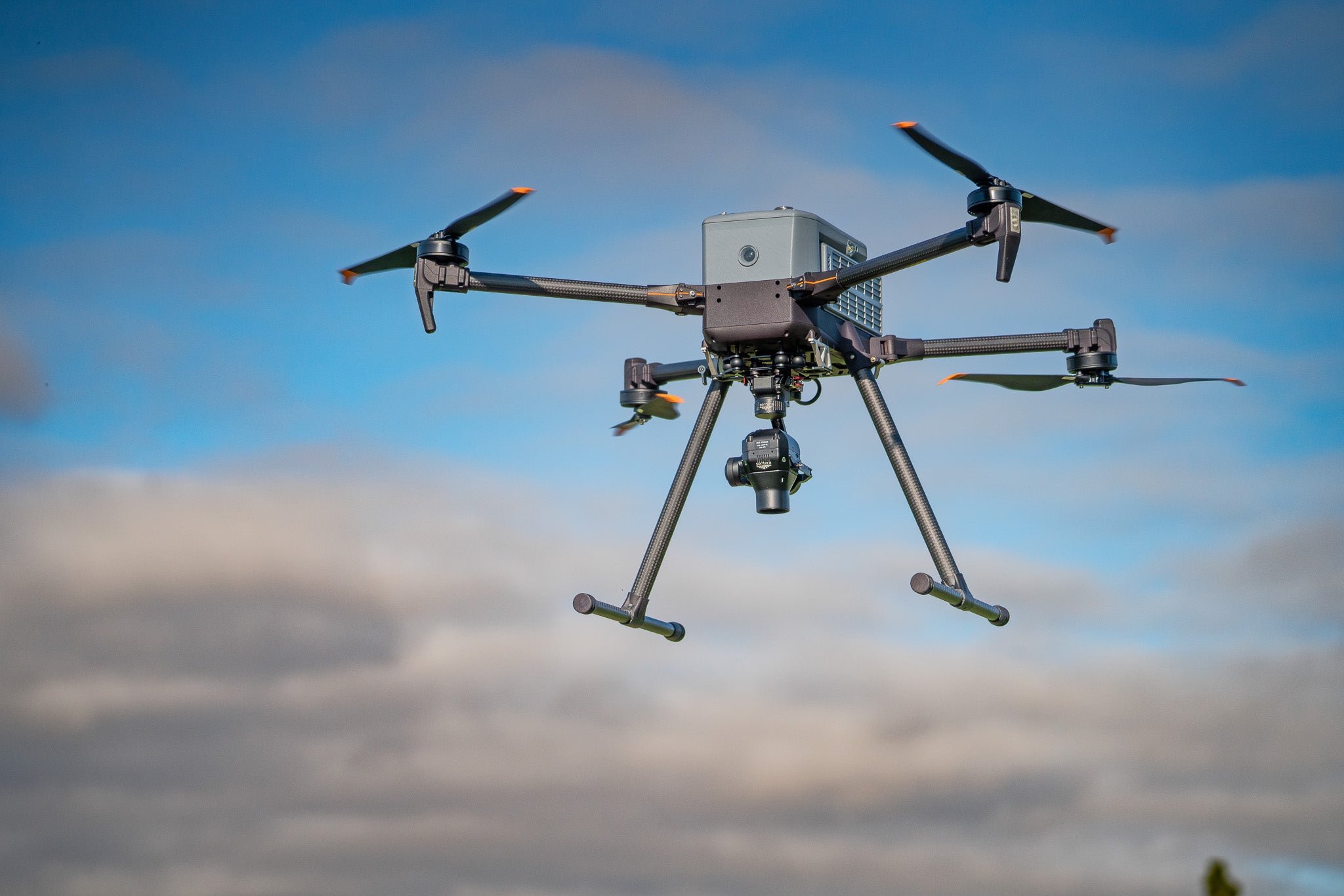
AGRICULTURAL DRONES AND FARMING DRONES
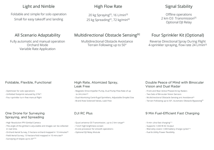
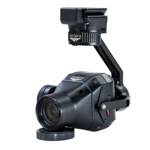
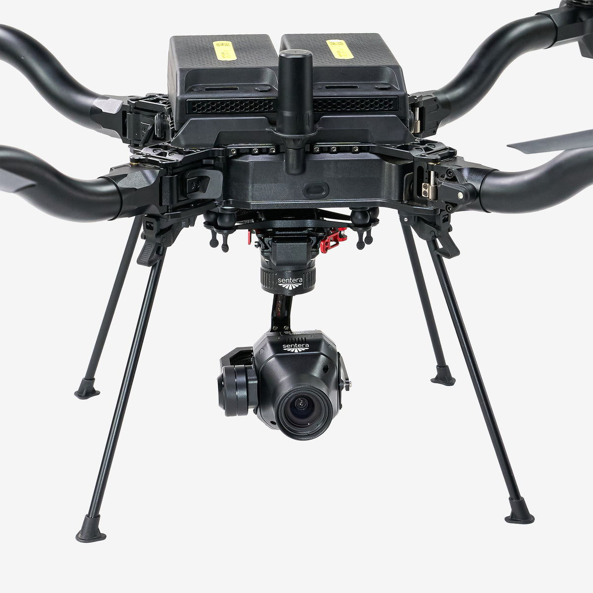
Farms and ranches in the US are the most productive they’ve ever been. American growers feed the world, and they need the best tools to keep adding more output per acre as demand for high quality, nutritious crops expands rapidly. Using agricultural drones (aka UAVs or unmanned aerial vehicles) is the next logical step in the progression of increased yields and decreased costs, so let’s explore some of the ways you can use the sensors these farming drones carry for advanced precision agriculture.
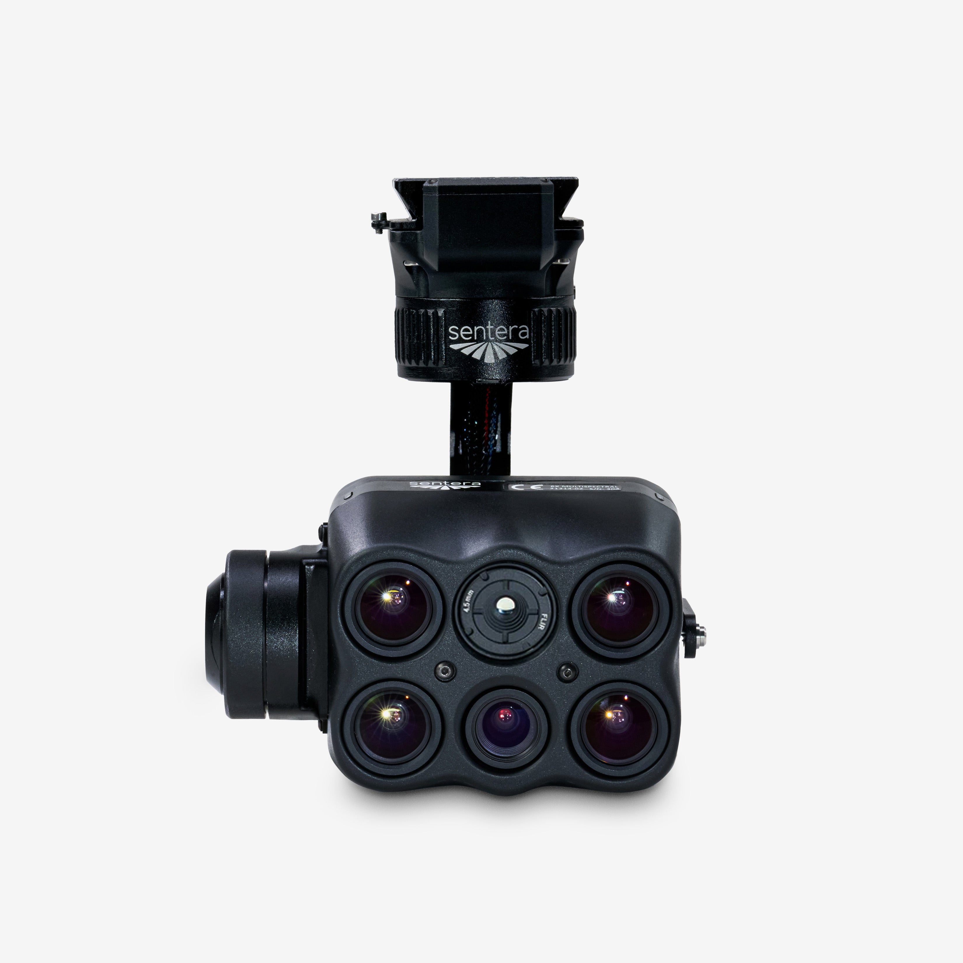
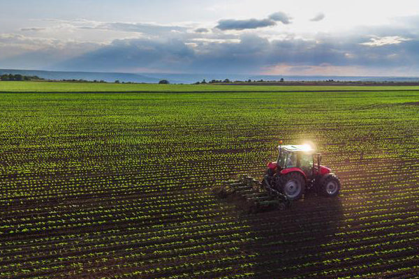
WHAT IS PRECISION AGRICULTURE?
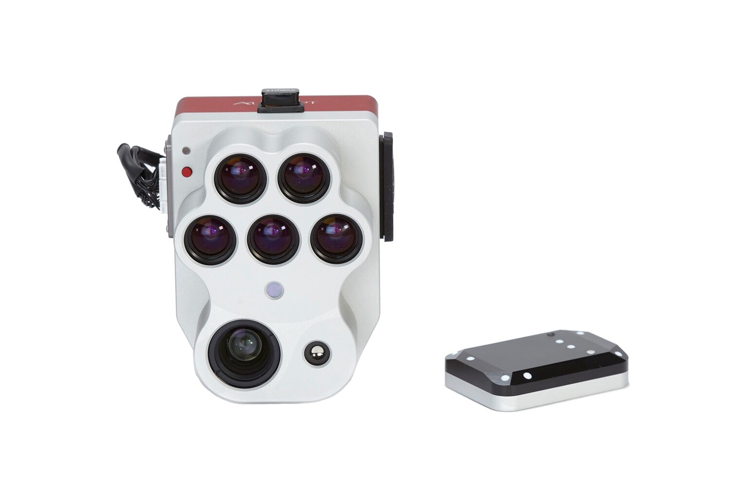
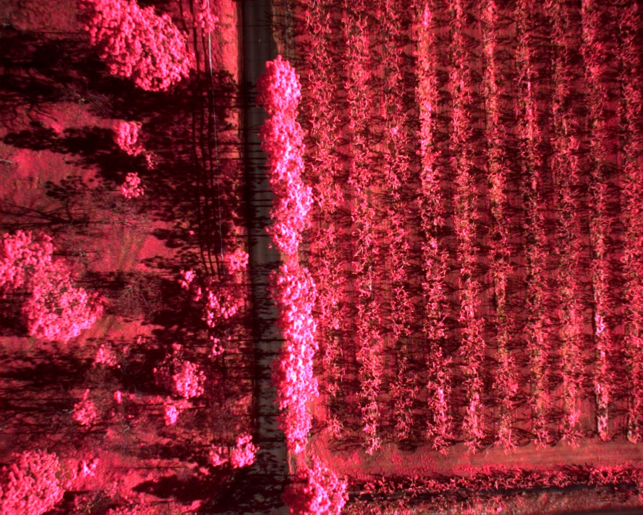
Precision Agriculture is the science of using data and sensors to take specific actions on your field at the right time. In the past, growers had to rely on rules of thumb or generalizations about the time of year and crop conditions to apply pesticides, fertilizers and other soil prescriptions. Now, by using agriculture drones and their instant data gathering capabilities, you can diagnose problems, estimate yields, and apply exact amounts of the correct product at the perfect time. All this information gathered by your precision ag drone helps you get the best possible harvest at the lowest costs.