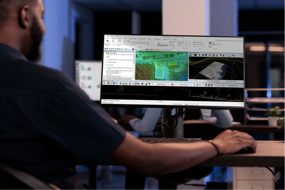
Drone processing software for LiDAR and photogrammetry is essential for transforming raw data captured by drones into usable information. Here’s a detailed overview of both types of software, their functionalities, and their applications:
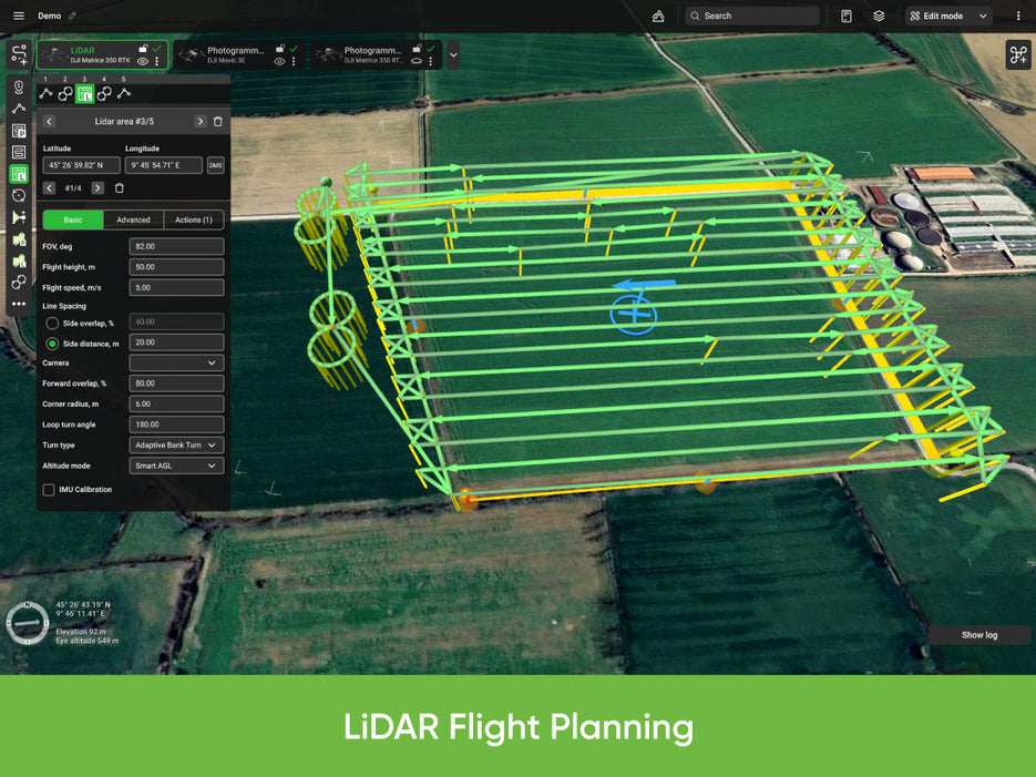
LiDAR Processing SoftwareLiDAR (Light Detection and Ranging) is a remote sensing method that uses light in the form of a pulsed laser to measure variable distances to the Earth. LiDAR processing software takes the raw point cloud data captured by the drone’s LiDAR sensor and processes it into detailed, accurate 3D models and maps. Key Features:
|
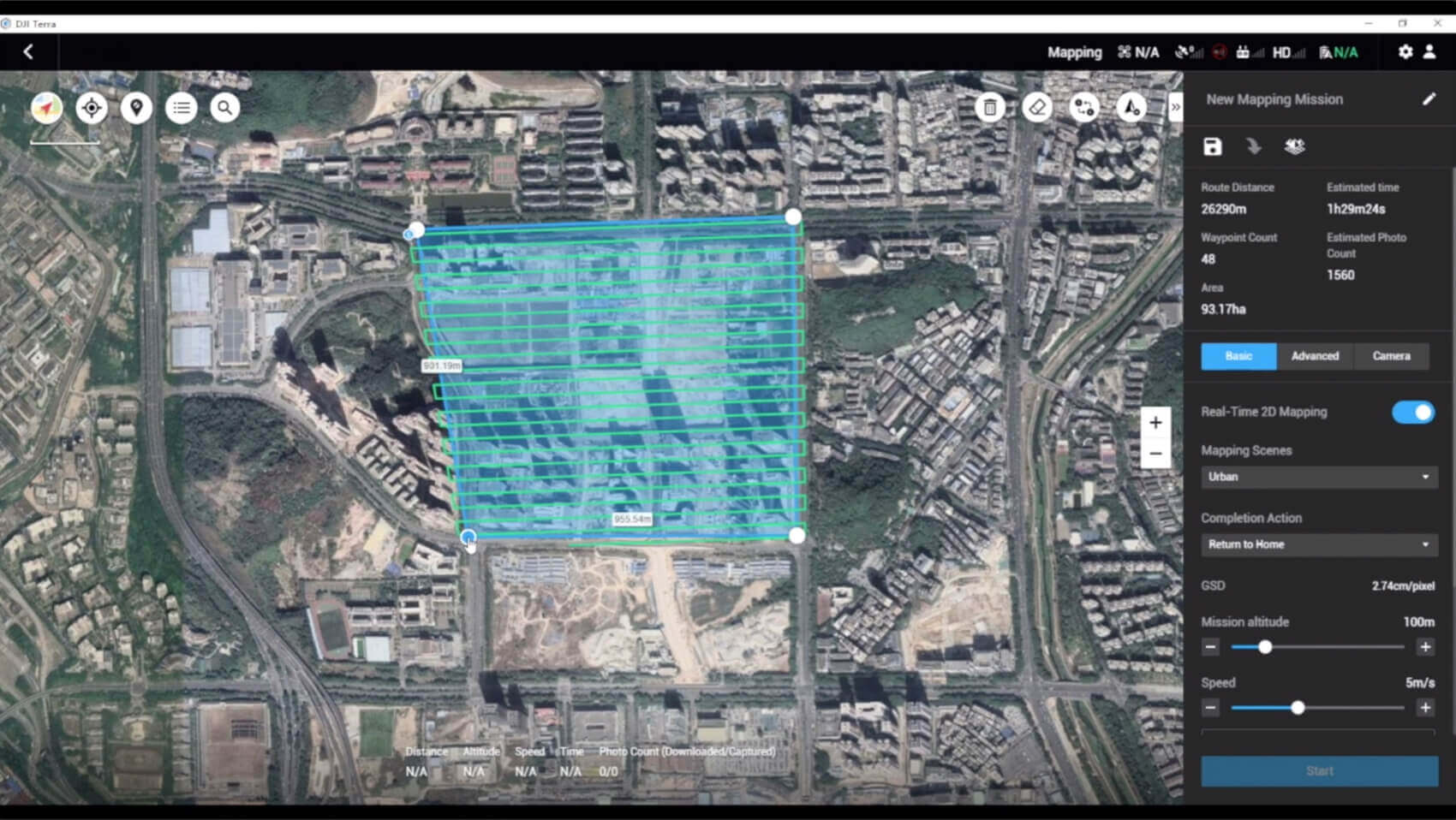
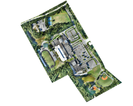
Photogrammetry Processing SoftwarePhotogrammetry is the science of making measurements from photographs. Drone photogrammetry involves capturing a series of overlapping images that are processed to create 2D maps and 3D models. Key Features:
|
Applications:
|
Conclusion:
LiDAR and photogrammetry processing software are powerful tools that transform drone-captured data into actionable insights. By choosing the right software, professionals in various fields can enhance their workflow efficiency, improve accuracy, and make informed decisions based on detailed 3D models and maps.

