
DJI LiDAR Solutions – Precision From Above
Experience the next generation of aerial mapping accuracy with DJI LiDAR technology. Built for professionals who demand precision, reliability, and speed, DJI’s LiDAR payloads deliver millimeter-level detail and real-time 3D point cloud generation in virtually any environment — day or night.
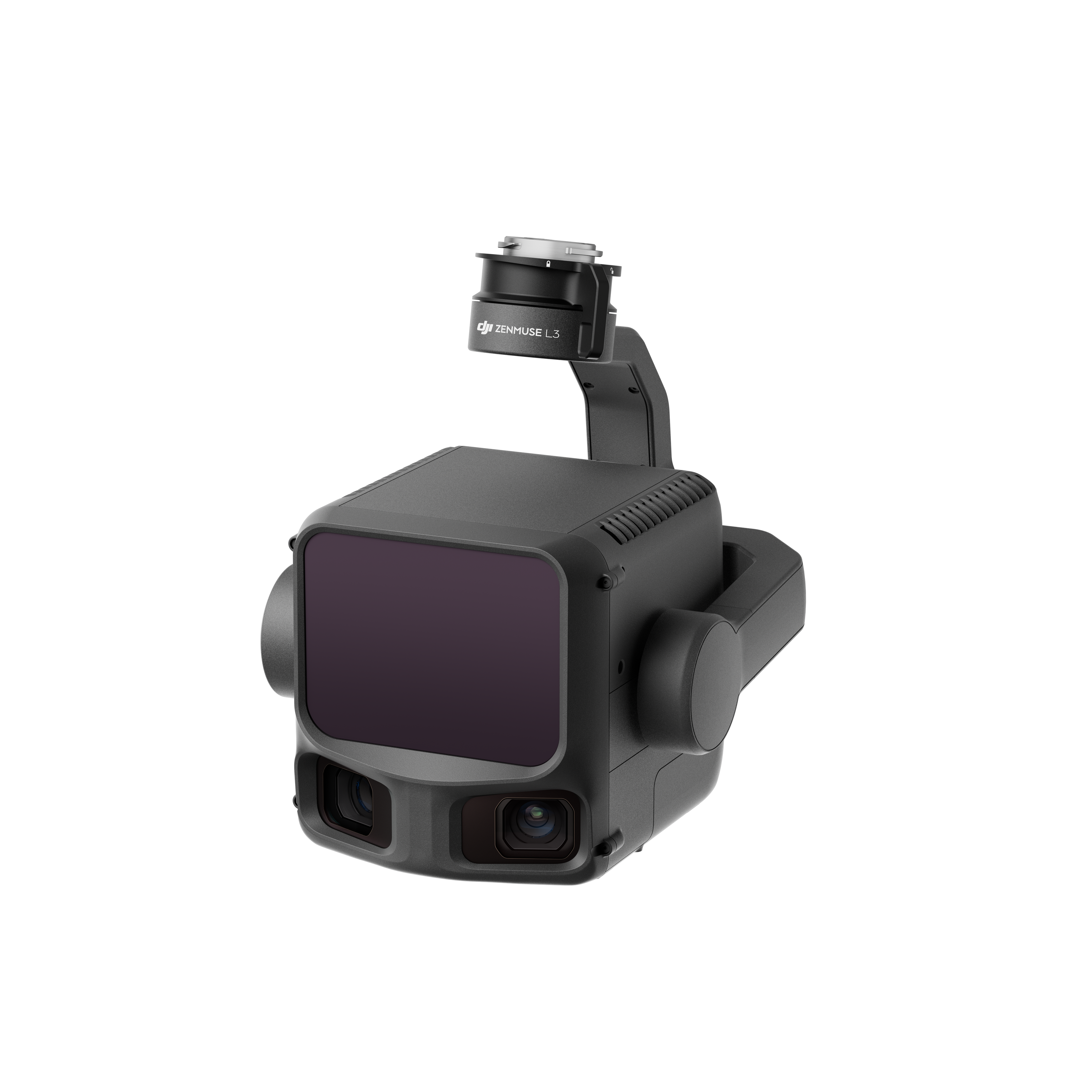
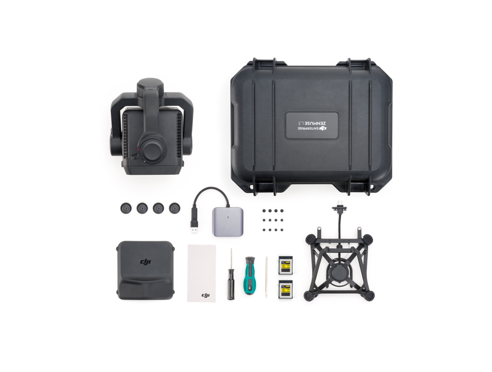
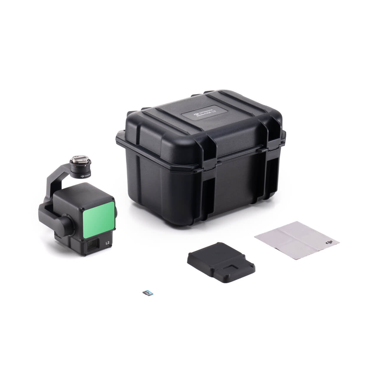
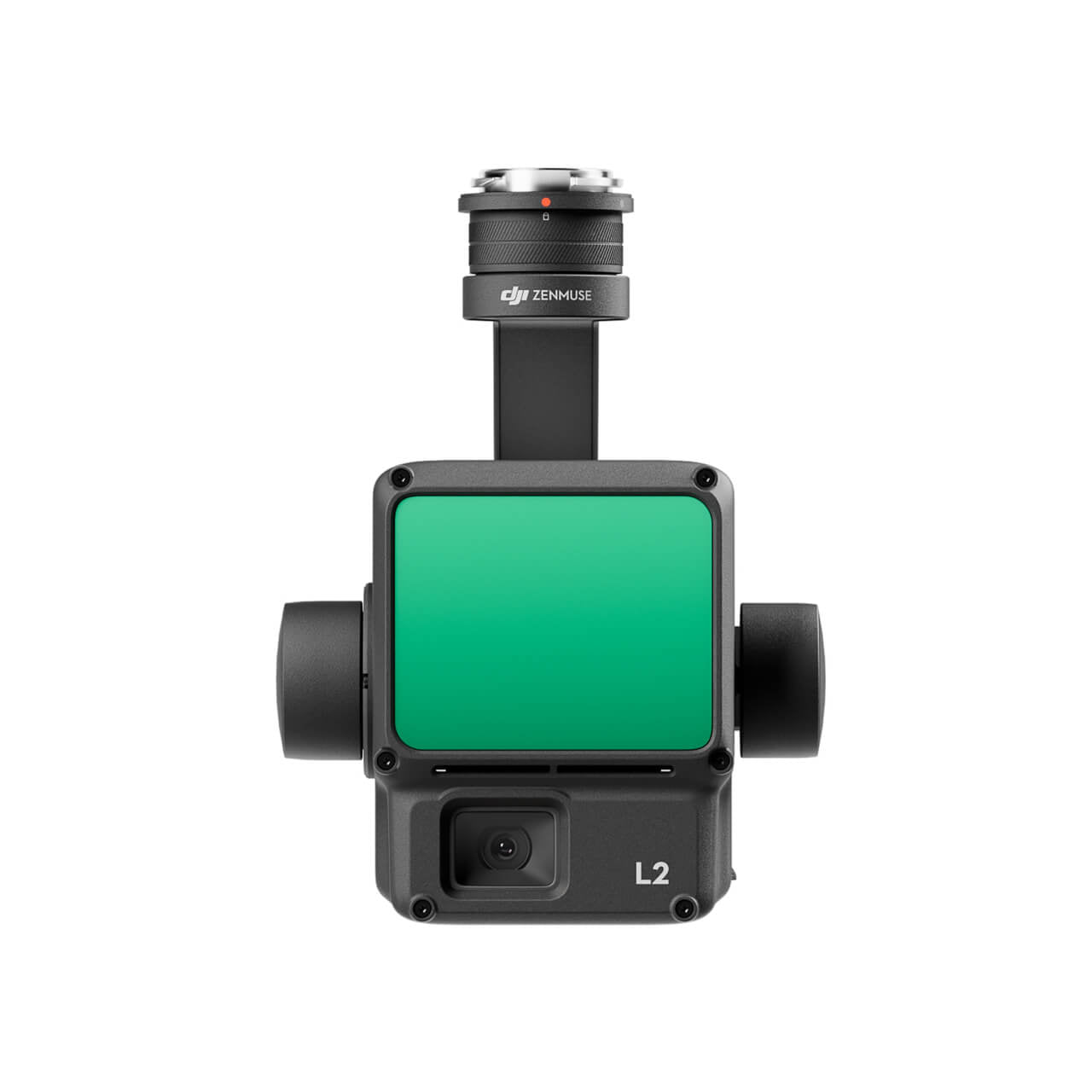
At the center of this lineup is the Zenmuse L3, DJI’s most advanced LiDAR sensor yet. Combining a powerful laser module, high-accuracy IMU, and integrated RGB camera, the L3 captures dense, colorized point clouds with unmatched clarity and efficiency. Paired with the Zenmuse L2 and compatible Matrice 300/350 RTK drones, it delivers a fully integrated geospatial solution when used with DJI Terra or other professional mapping software.
Ideal for surveying, construction, infrastructure inspection, forestry management, and public safety operations — DJI LiDAR systems give you the power to measure, model, and map with absolute confidence.