Oil & Gas
Drones Use in the Oil & Gas Industry
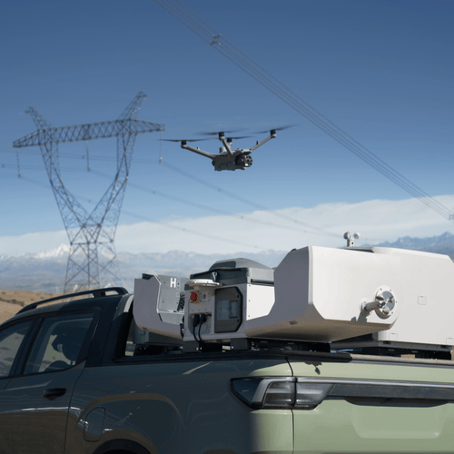
Drones, or unmanned aerial vehicles (UAVs), have become integral to the oil and gas industry, providing a safe, efficient, and cost-effective solution for a variety of tasks. From inspection and monitoring to emergency response and environmental compliance, drones are transforming how the industry operates. Here’s a detailed overview of how drones are used in the oil and gas sector, the technologies involved, and the benefits they offer.
Key Applications of Drones in Oil & Gas
-
Inspection and Maintenance:
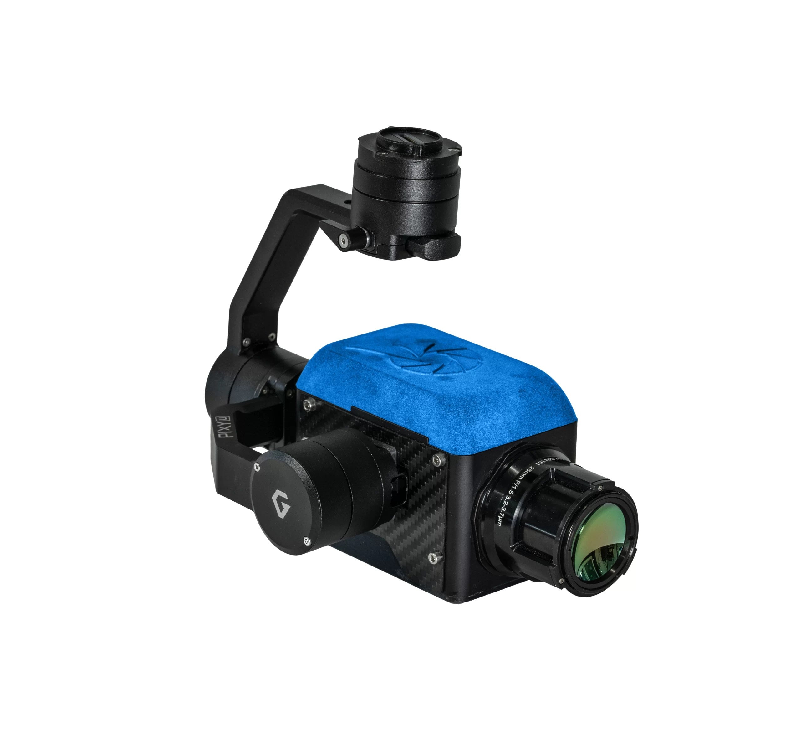
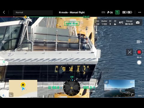
- Pipeline Inspections: Drones equipped with high-resolution cameras and thermal sensors can inspect pipelines for leaks, corrosion, and structural integrity without the need for manual checks.
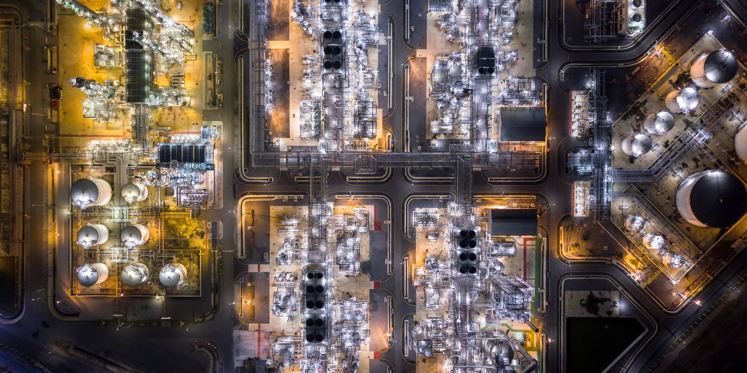
- Offshore Platform Inspections: Conduct detailed inspections of offshore rigs and platforms, including hard-to-reach areas such as flare stacks, reducing the need for risky manual inspections.
- Storage Tank Inspections: Inspect the condition of storage tanks, checking for signs of wear, leaks, and corrosion.
-
Monitoring and Surveillance:
- Site Surveillance: Provide real-time surveillance of oil and gas sites to enhance security and detect unauthorized activities or intrusions.
- Environmental Monitoring: Monitor environmental conditions around oil and gas facilities, including air quality, water quality, and vegetation health.
- Wildlife Monitoring: Track and monitor wildlife in and around oil and gas operations to ensure compliance with environmental regulations.
-
Emergency Response:
- Incident Assessment: Quickly assess the situation during emergencies such as spills, fires, or explosions, providing real-time data to first responders.
- Search and Rescue: Assist in search and rescue operations by providing aerial views and thermal imaging to locate individuals in hazardous conditions.
-
Mapping and Surveying:
- Site Mapping: Create detailed maps and 3D models of oil and gas sites for planning and analysis.
- Topographic Surveys: Conduct topographic surveys to support construction and maintenance activities.
-
Asset Management:
- Inventory Management: Monitor and manage inventory levels of equipment and materials stored at oil and gas sites.
- Infrastructure Monitoring: Continuously monitor the condition of infrastructure, including roads, pipelines, and facilities.
Technologies Involved
-
Cameras and Sensors:
- High-Resolution Cameras: Capture detailed images and videos for visual inspections.
- Thermal Cameras: Detect temperature anomalies that indicate leaks, overheating equipment, or insulation failures.
- Gas Detection Sensors: Measure concentrations of gases such as methane, CO2, and NOx to detect leaks and emissions.
- LiDAR Sensors: Generate precise 3D models of terrain and infrastructure, useful for mapping and surveying.
-
Data Processing and Analysis:
- Image Processing Software: Stitch images together to create orthomosaics and detailed maps.
- 3D Modeling Tools: Create accurate 3D models from LiDAR and photogrammetric data.
- AI and Machine Learning: Automate the detection of defects, leaks, and other anomalies in the data collected by drones.
Benefits of Using Drones in Oil & Gas
-
Safety:
- Reduced Risk: Minimize the need for workers to perform dangerous tasks such as climbing flare stacks or inspecting offshore platforms.
- Remote Inspections: Conduct inspections remotely, reducing the risk of accidents and exposure to hazardous environments.
-
Efficiency:
- Time Savings: Drones can quickly cover large areas and difficult-to-reach locations, significantly reducing inspection and survey times.
- Real-Time Data: Provide immediate access to high-quality data for faster decision-making and response.
-
Cost-Effectiveness:
- Lower Operational Costs: Reduce the need for expensive equipment such as scaffolding, cranes, and helicopters.
- Preventive Maintenance: Early detection of issues helps prevent costly repairs and downtime.
-
Accuracy:
- High-Resolution Data: Capture detailed and accurate images and measurements for precise analysis.
- Consistent Monitoring: Automated and repeatable flights ensure consistent data collection over time.
-
Environmental Compliance:
- Leak Detection: Quickly identify and address leaks and emissions to minimize environmental impact.
- Regulatory Reporting: Provide accurate and comprehensive data to meet regulatory requirements for environmental monitoring.
Featured collection
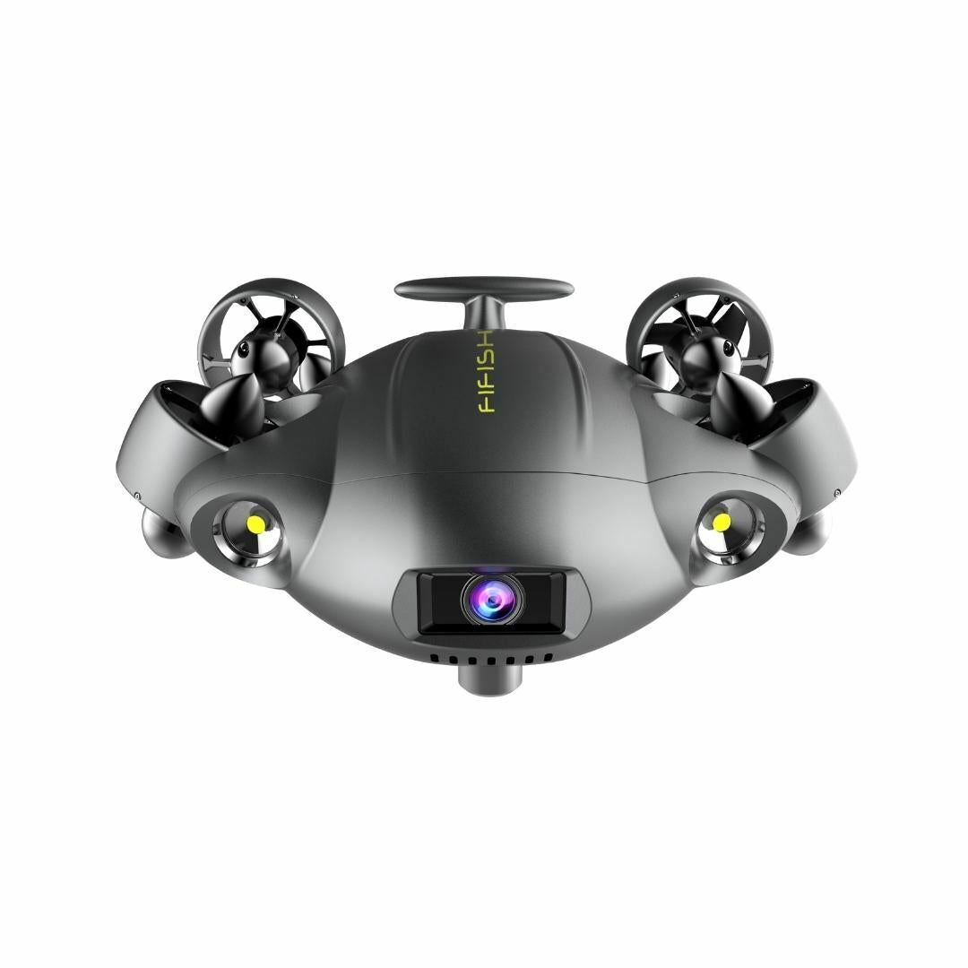
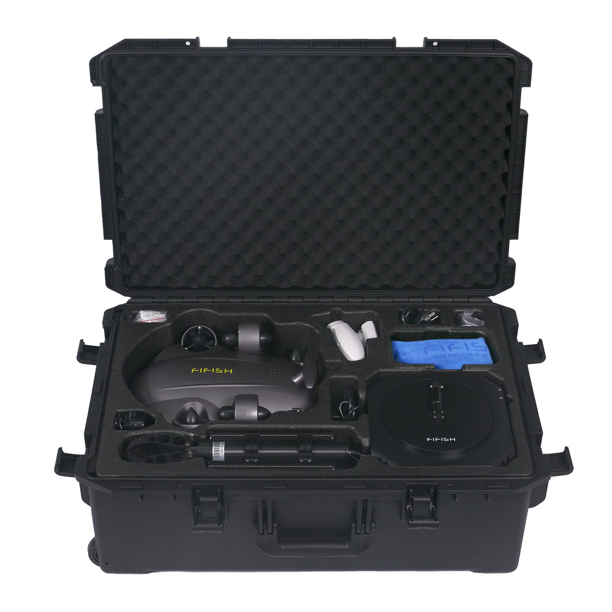
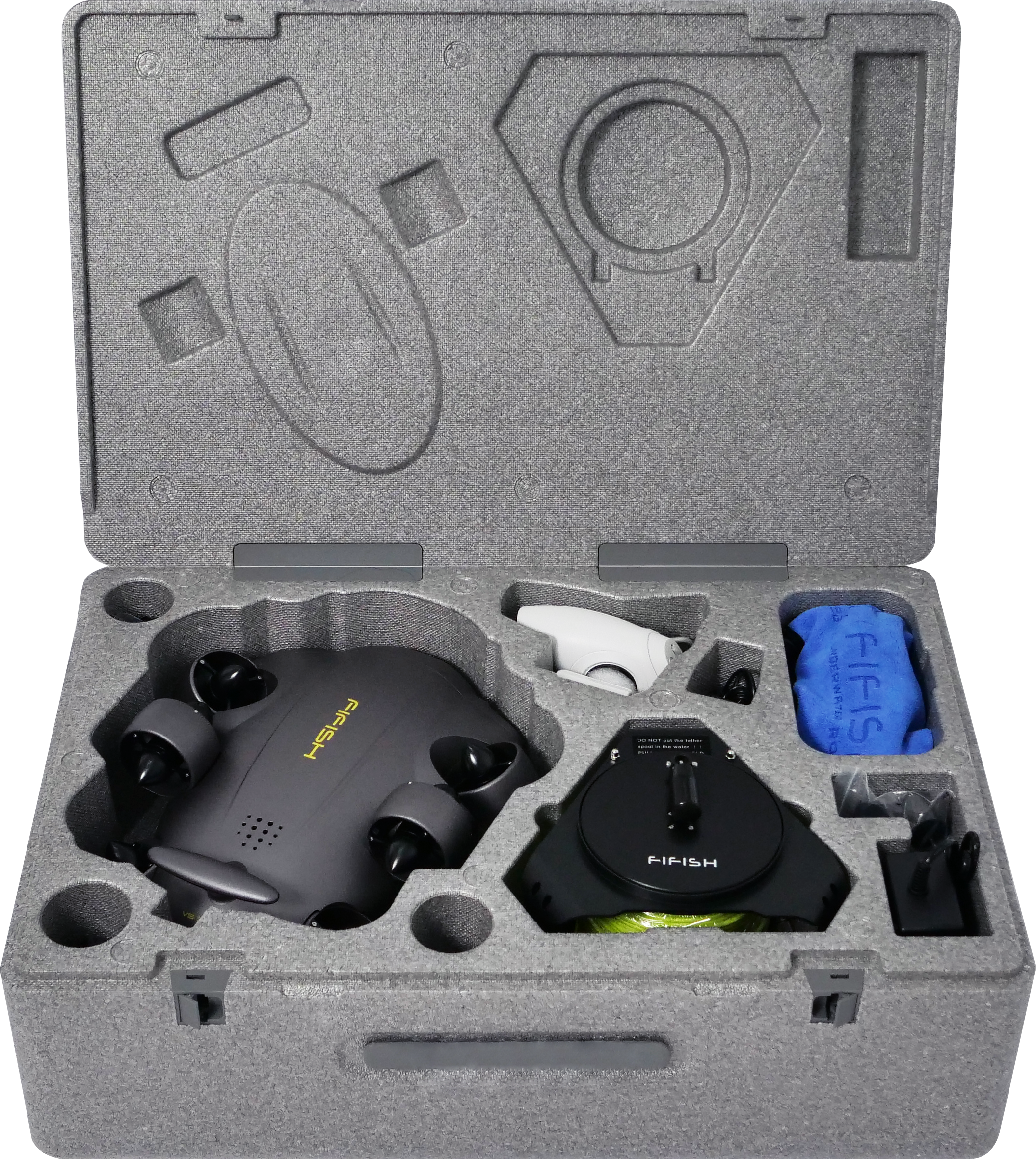
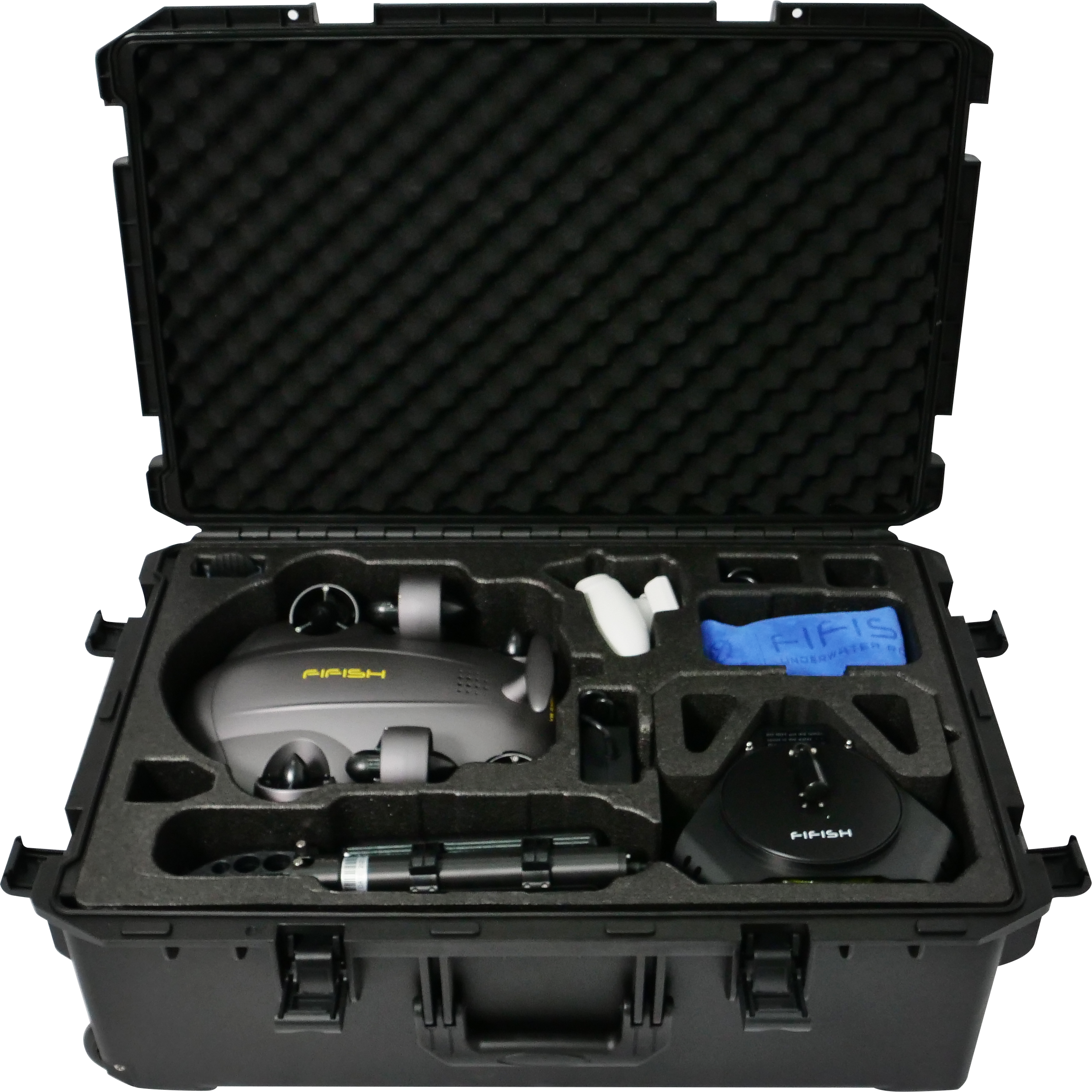
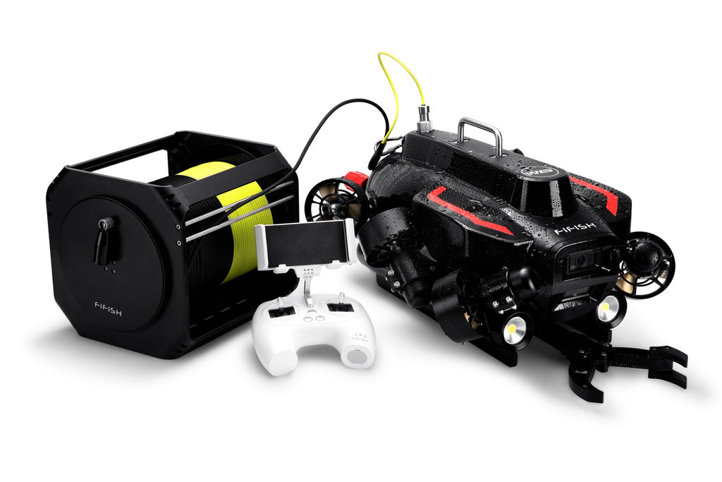
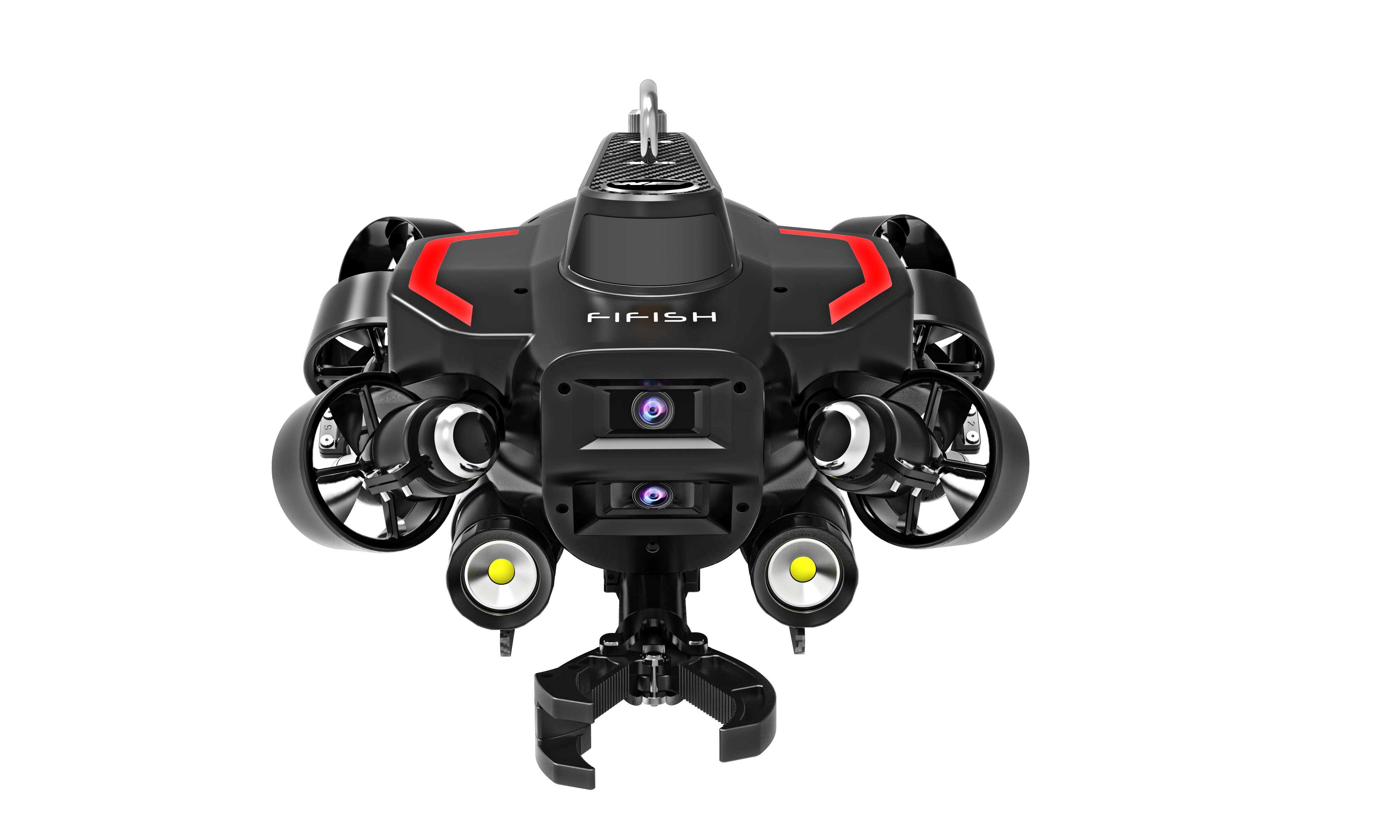
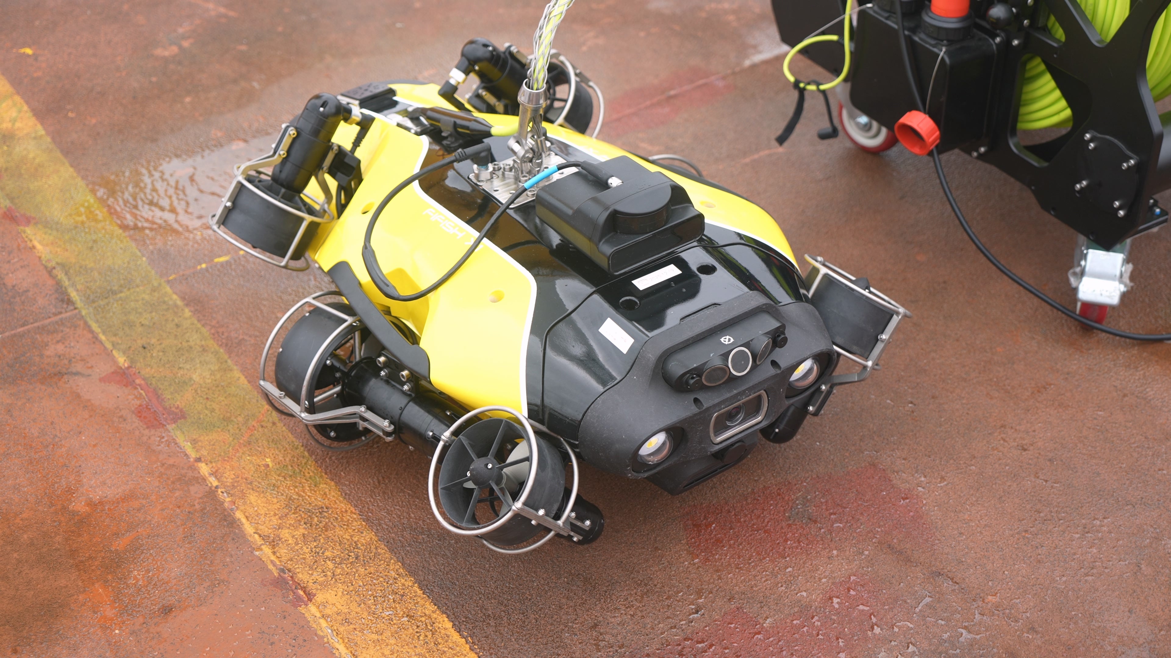
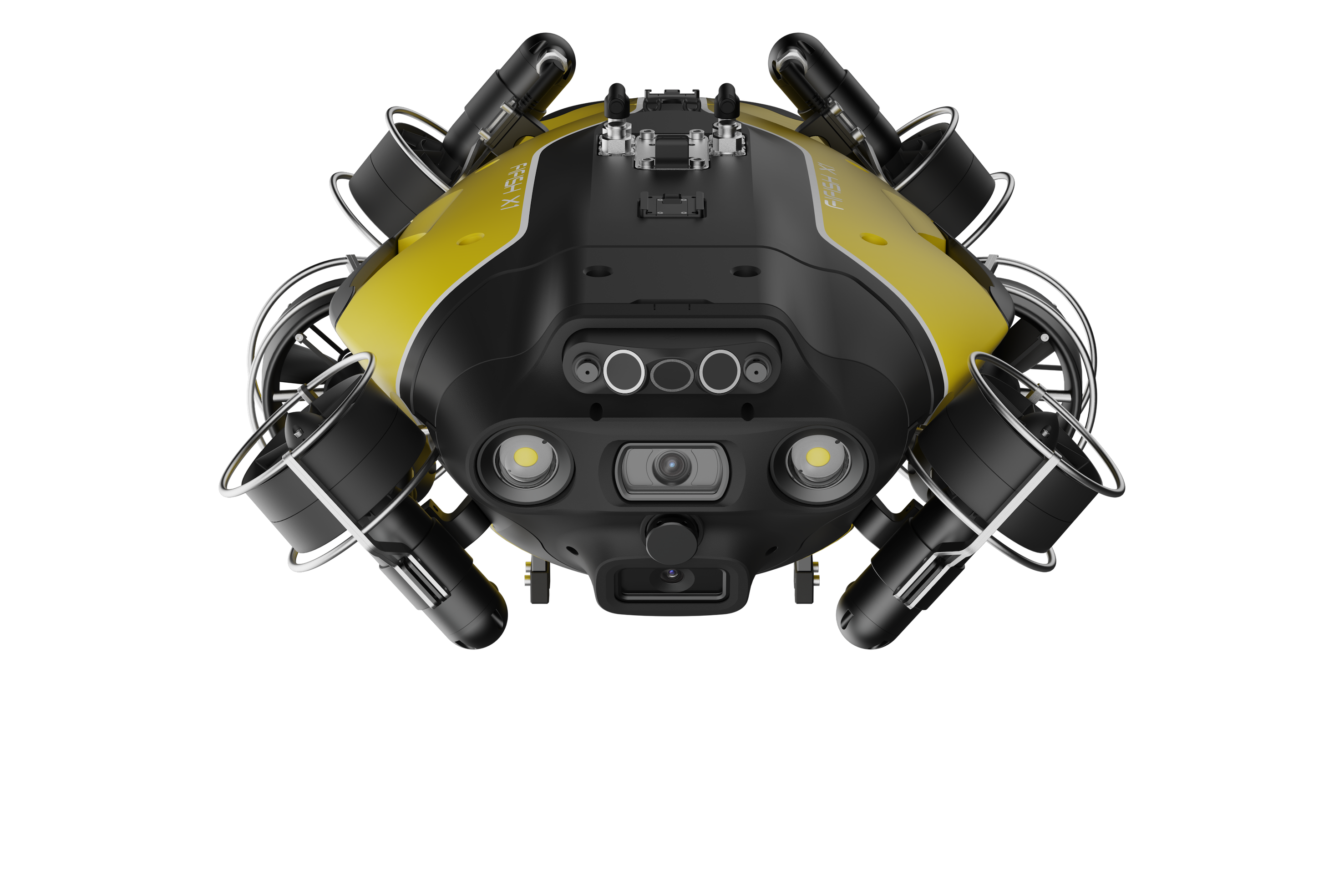
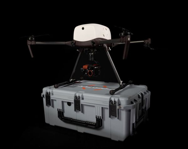
Qysea - Fifish V6 Expert - M200A
Sale price$4,299.00

Qysea - Fifish V6 Expert - M100
Sale price$2,999.00

Qysea - Fifish V6 Expert - M100A
Sale price$3,999.00
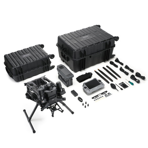
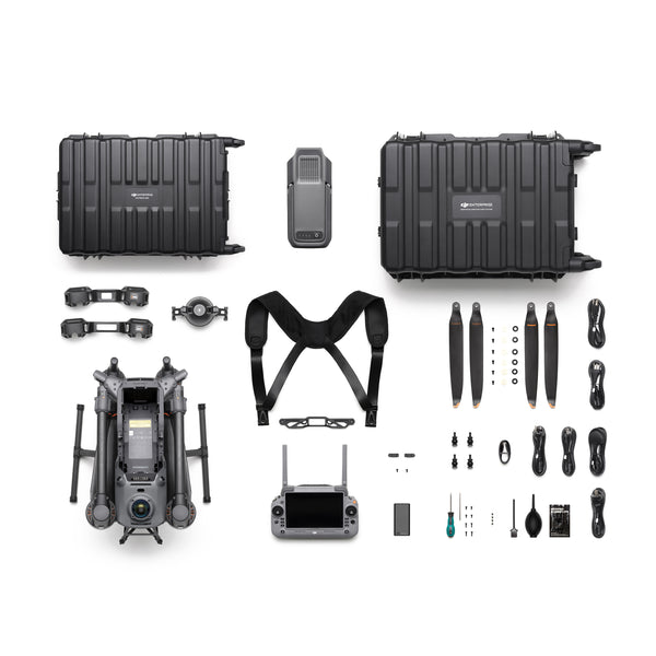
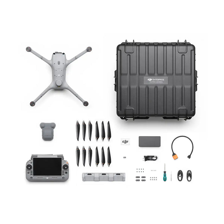
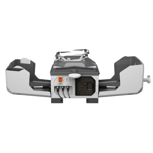
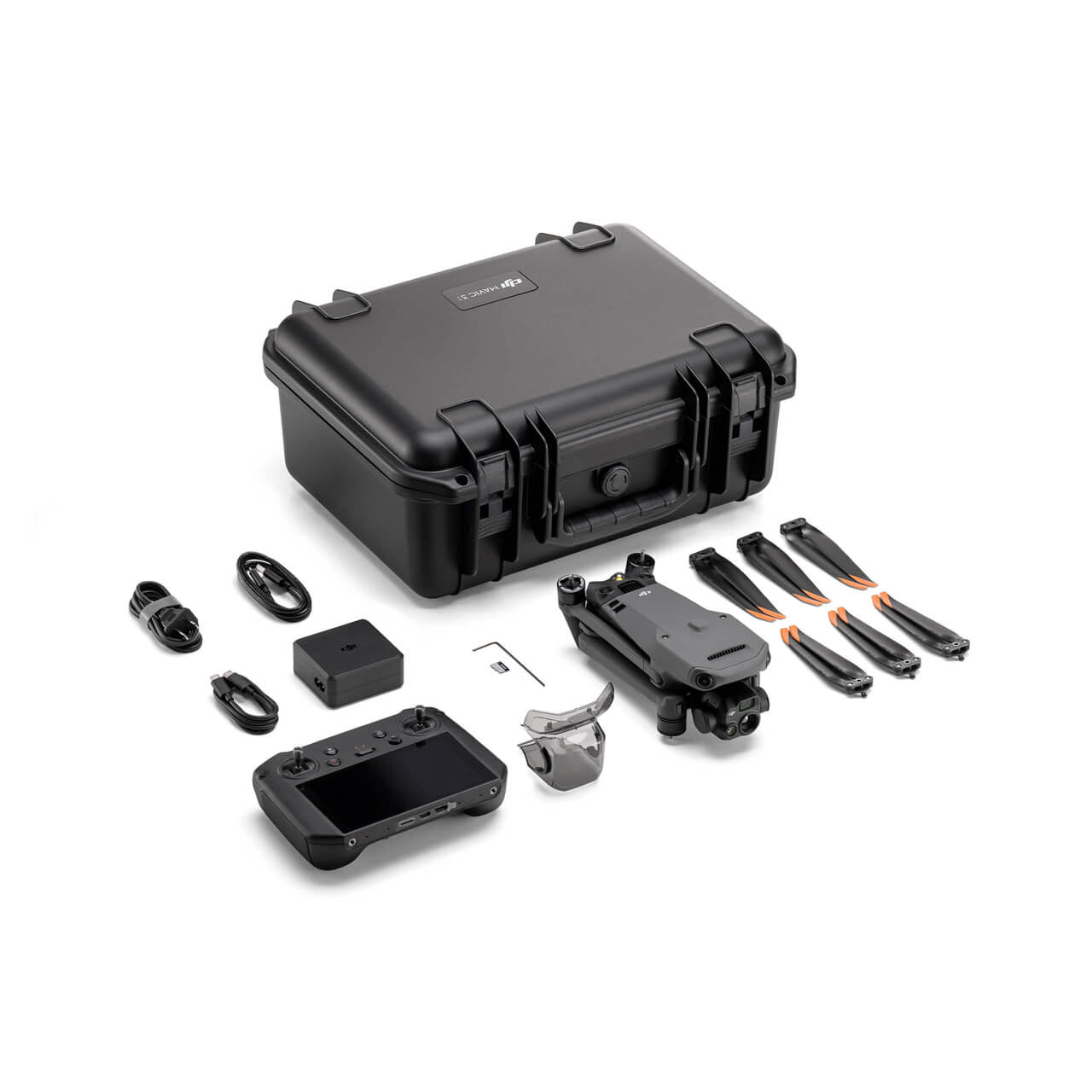
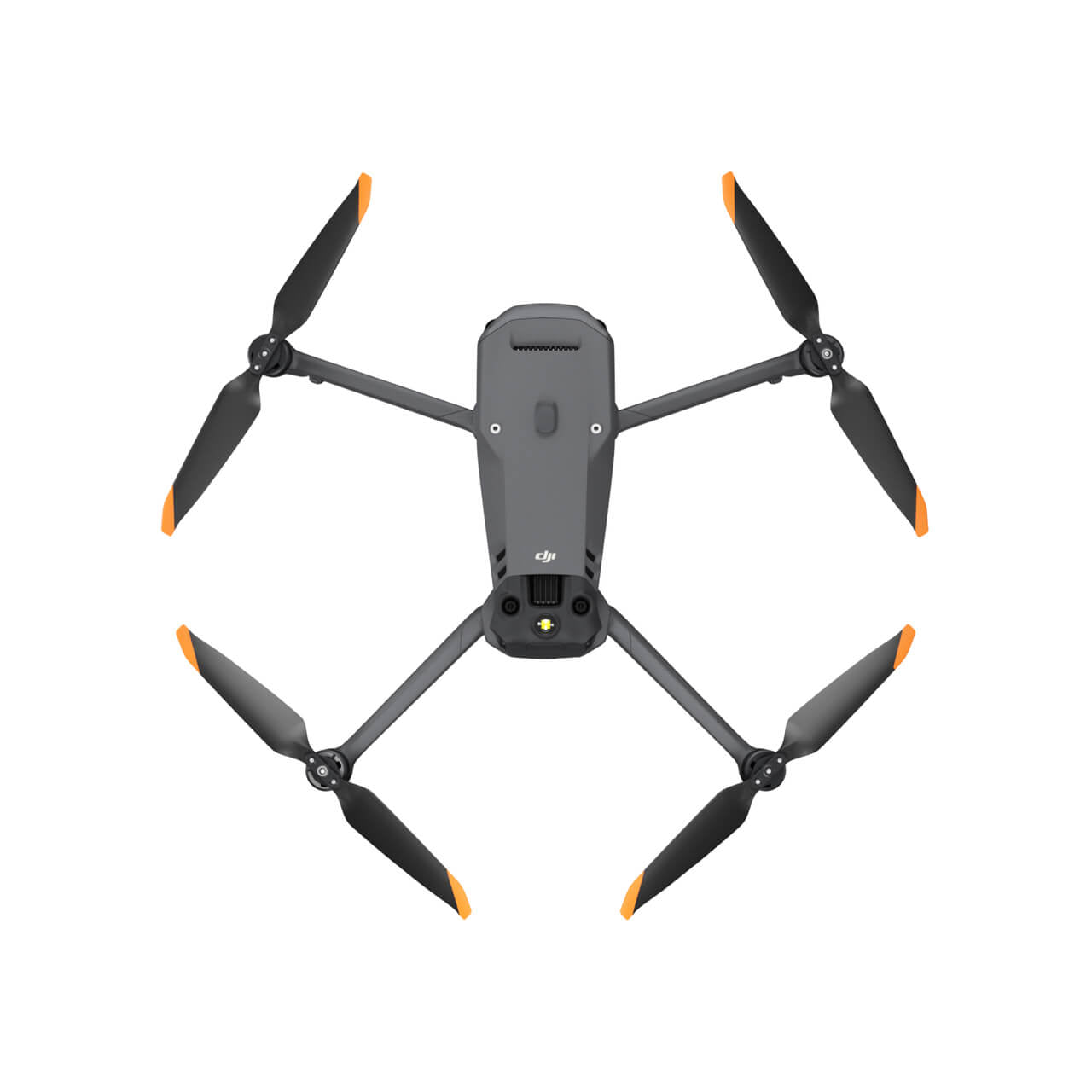
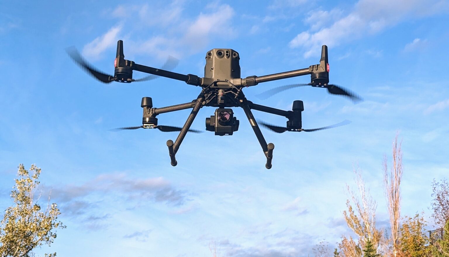
DJI - Matrice 400 RTK Drone Series
Sale price$10,400.00


Qysea - Fifish V6 Expert - M200
Sale price$3,599.00
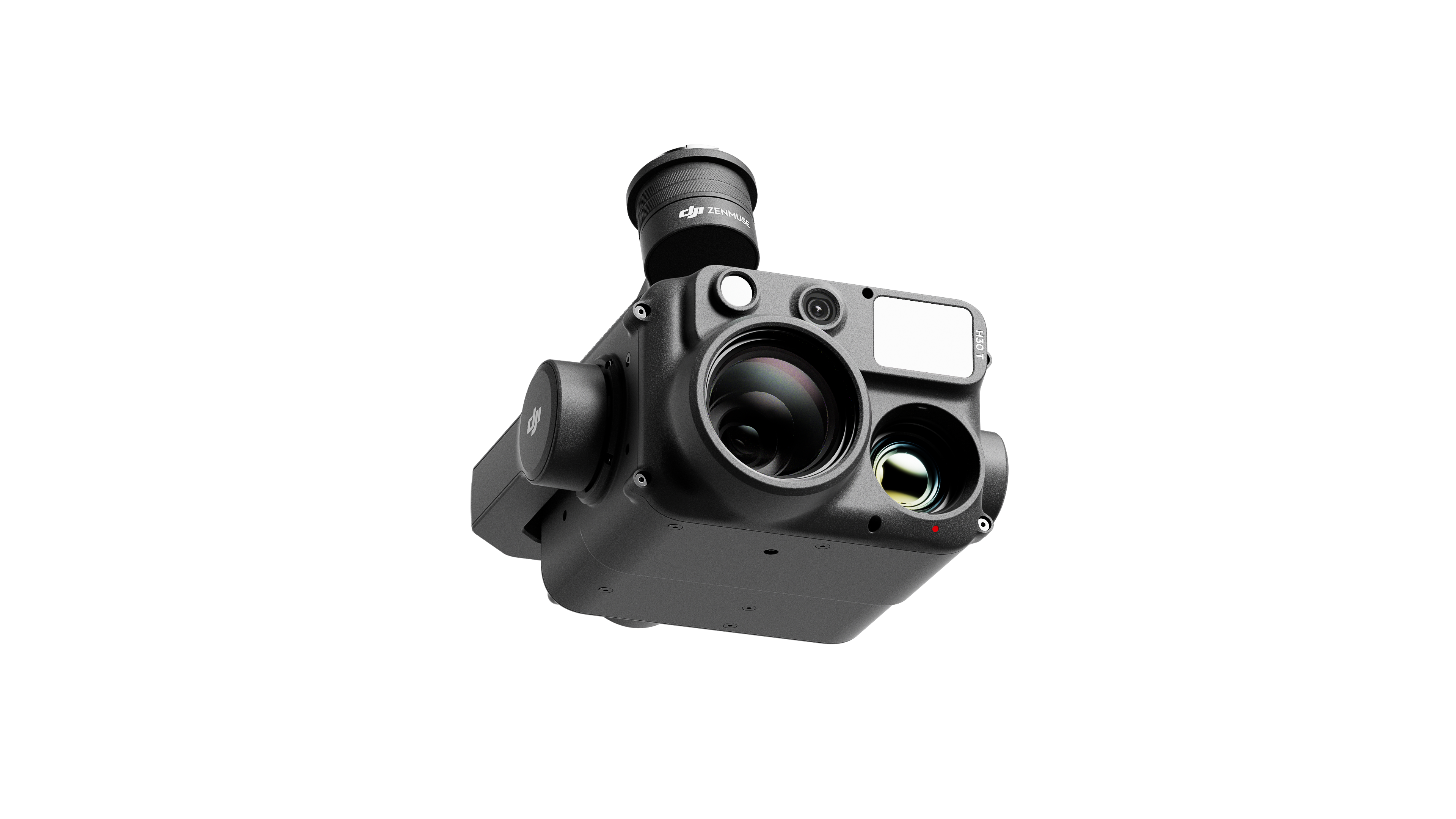
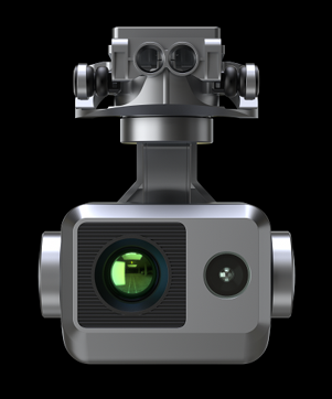
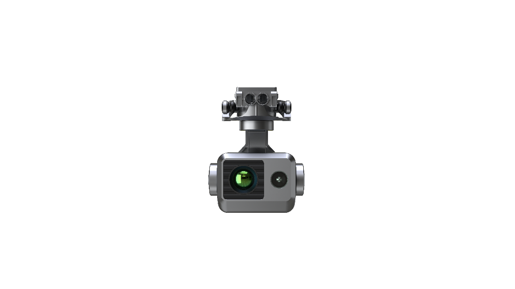
DJI - Zenmuse H30T Five-Module Camera (Wide, Zoom, Rangefinder, Thermal, NIR Aux)
Sale price$11,999.00
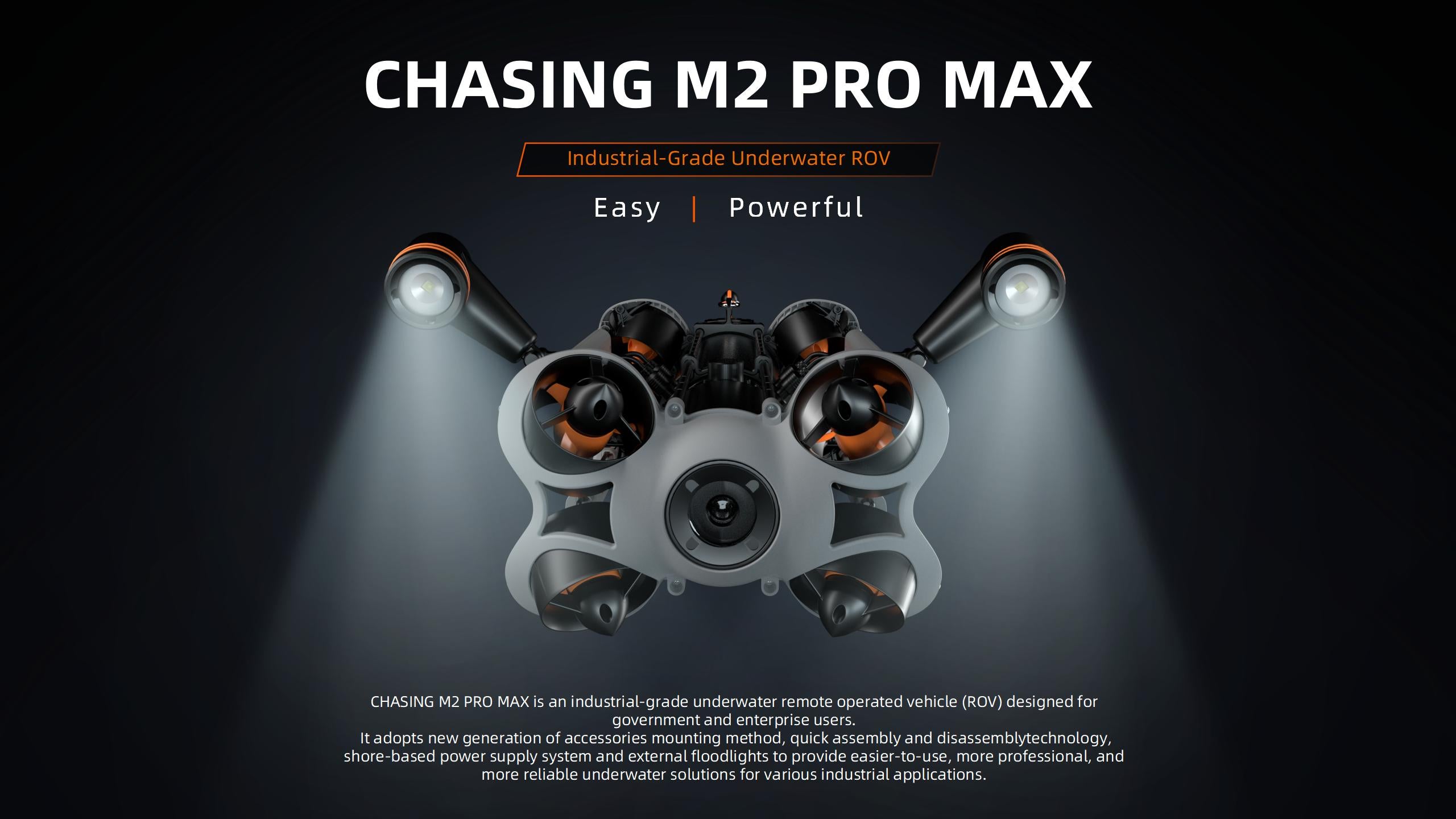
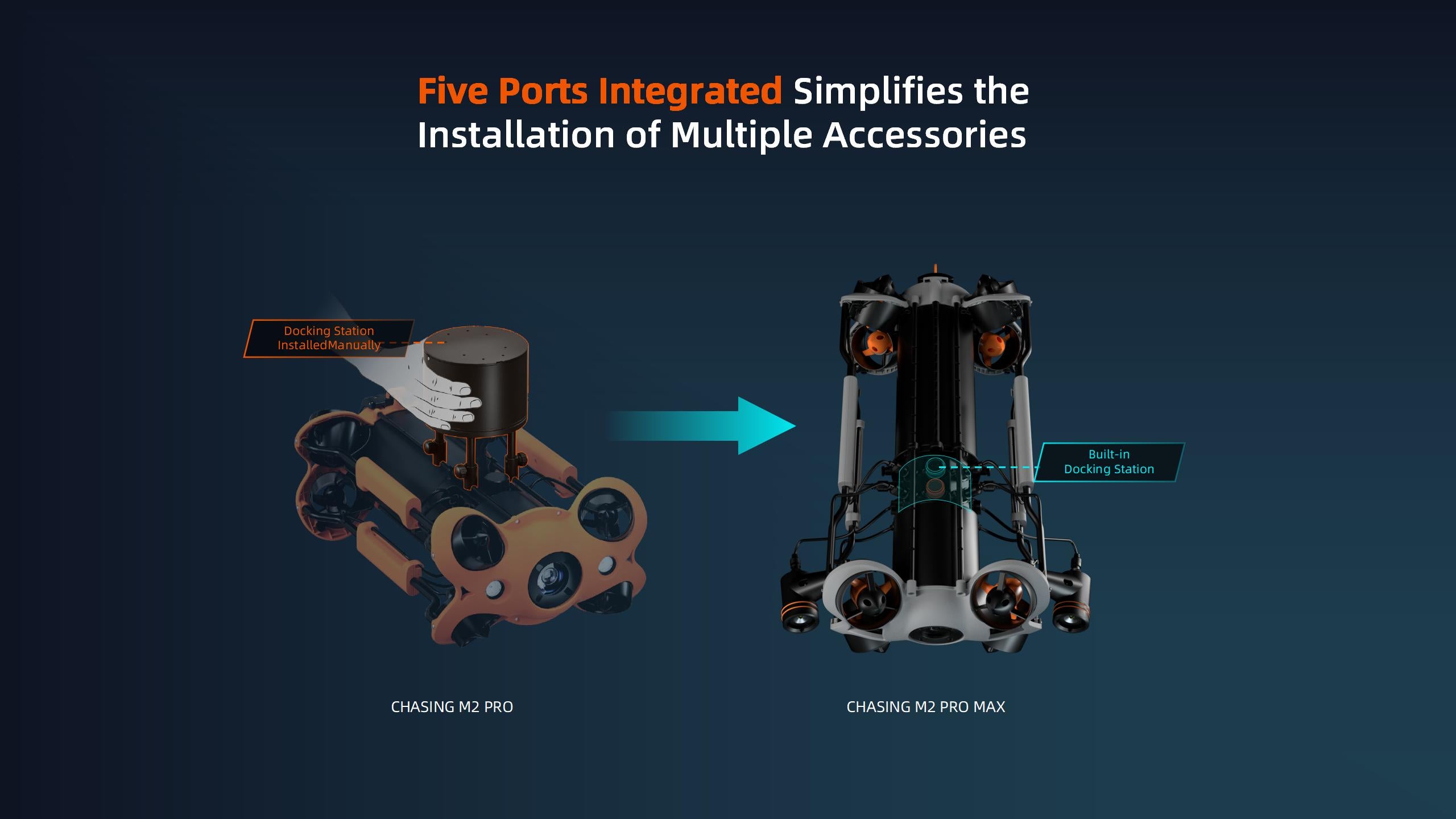
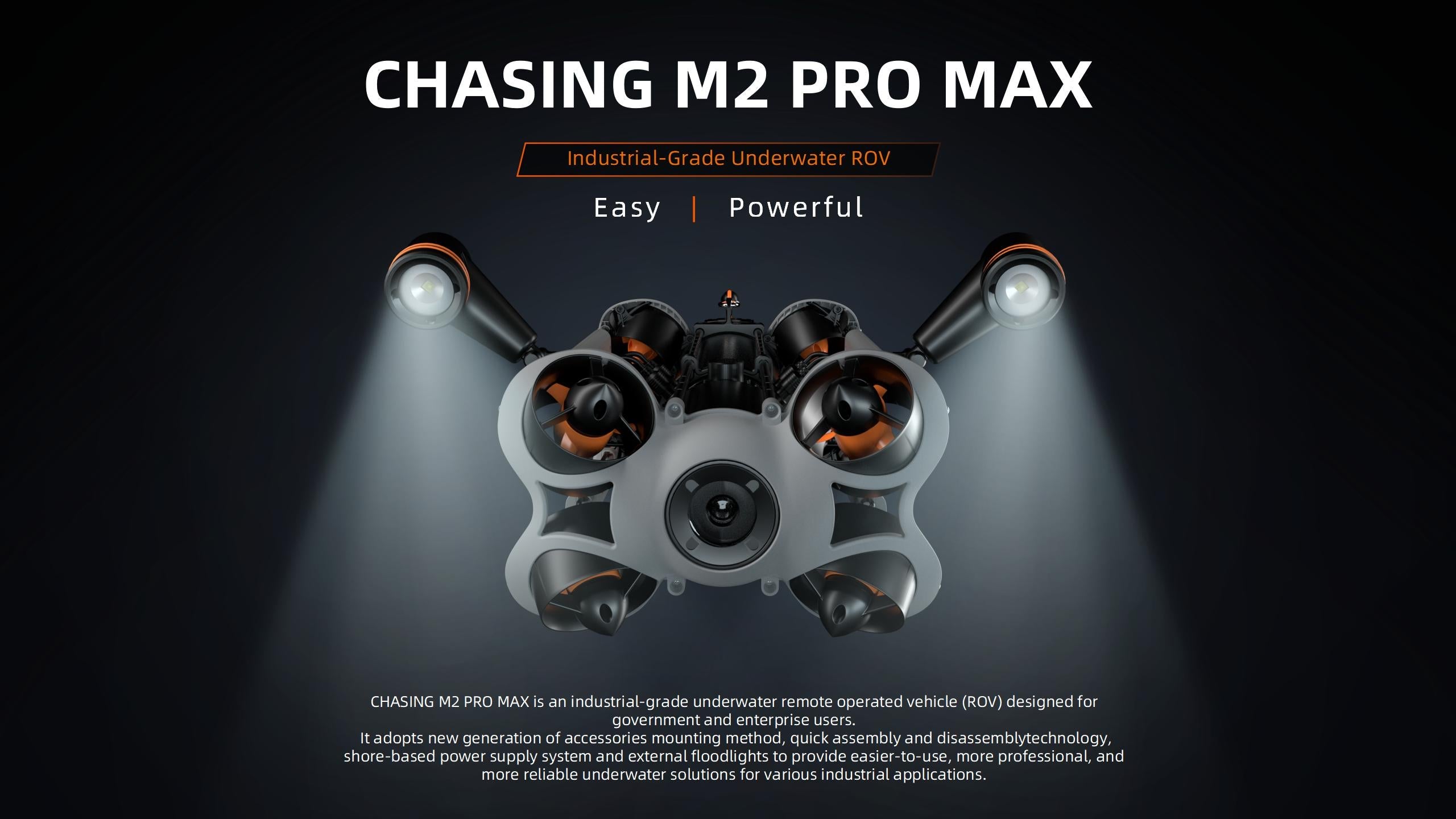
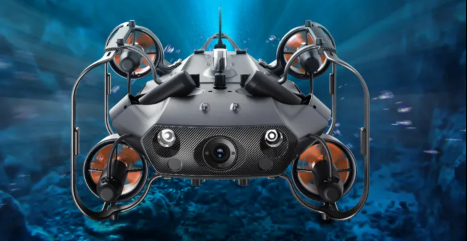
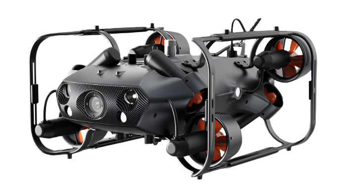
Chasing - M2 Pro Max ROV
Sale price$6,499.00
Save 6%
DJI Matrice 4TD with RC Plus 2 Enhanced Controller
Sale price$9,280.00
Regular price$9,899.00

Chasing - M2 Pro Max Advanced Set (200M) ROV
Sale price$7,399.00
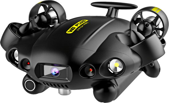
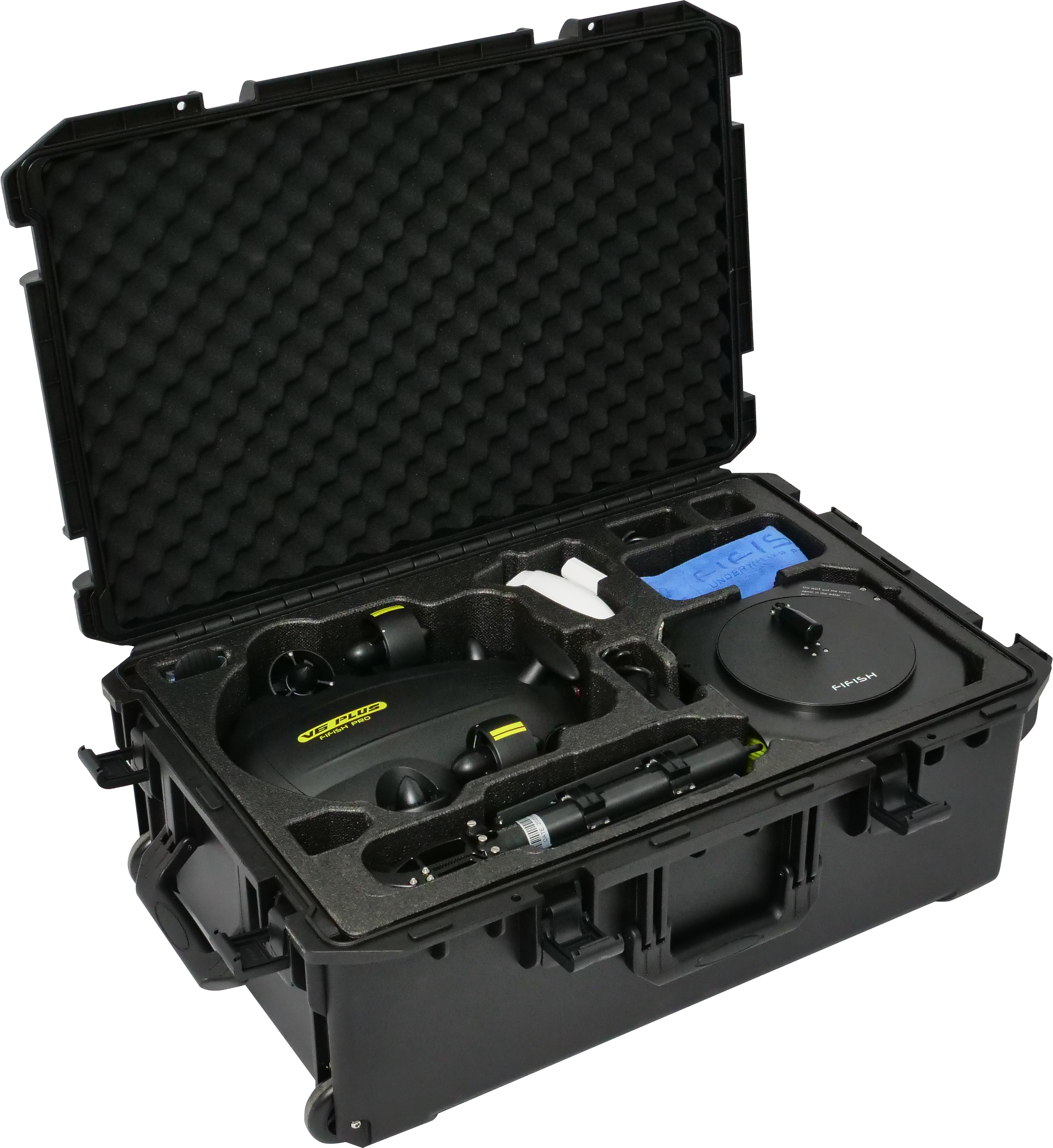
Qysea - Fifish Pro V6 Plus Underwater Robot - DISCONTINUED
Sale price$10,400.00

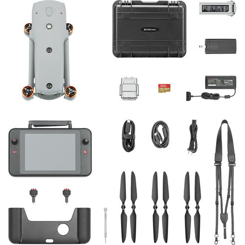
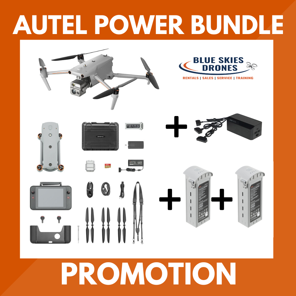
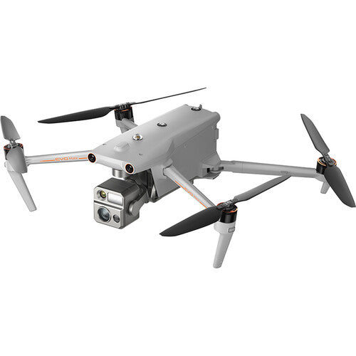
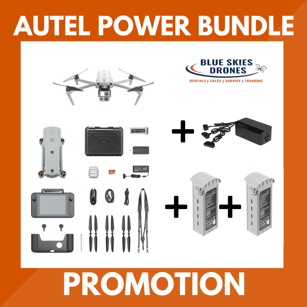
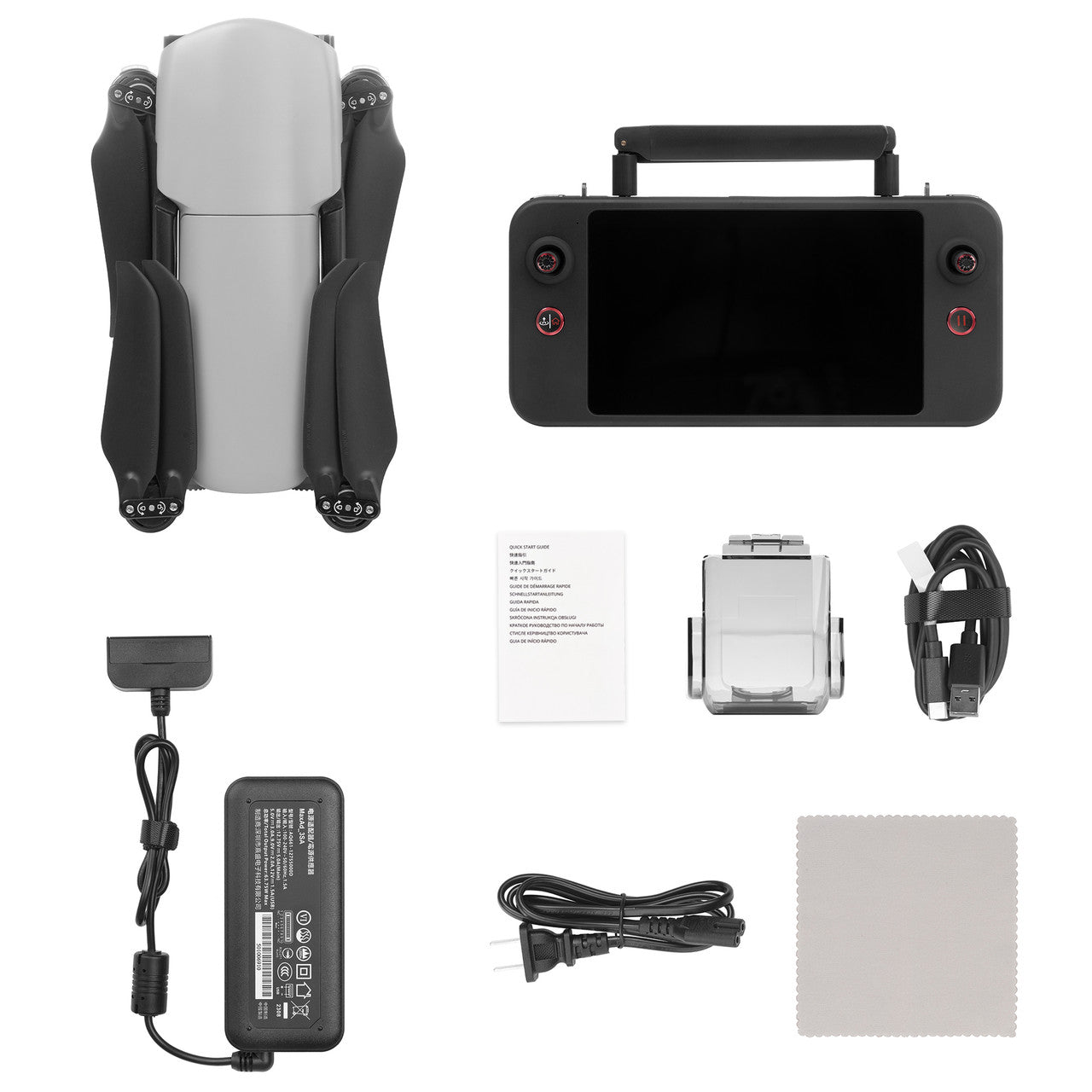
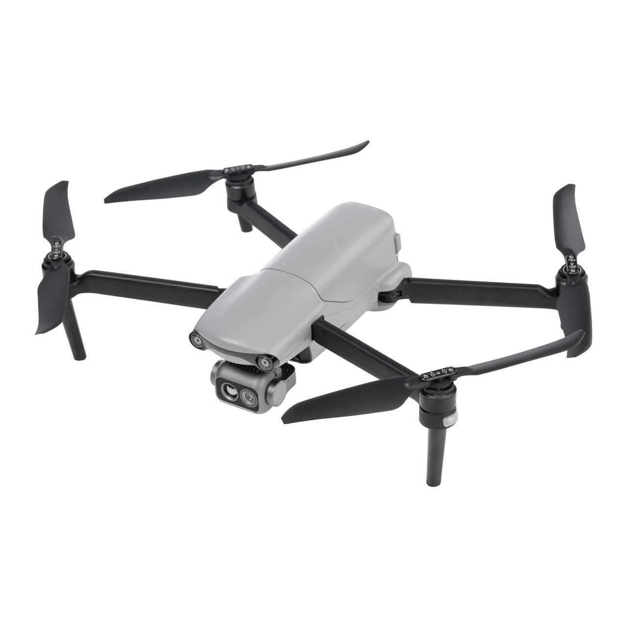
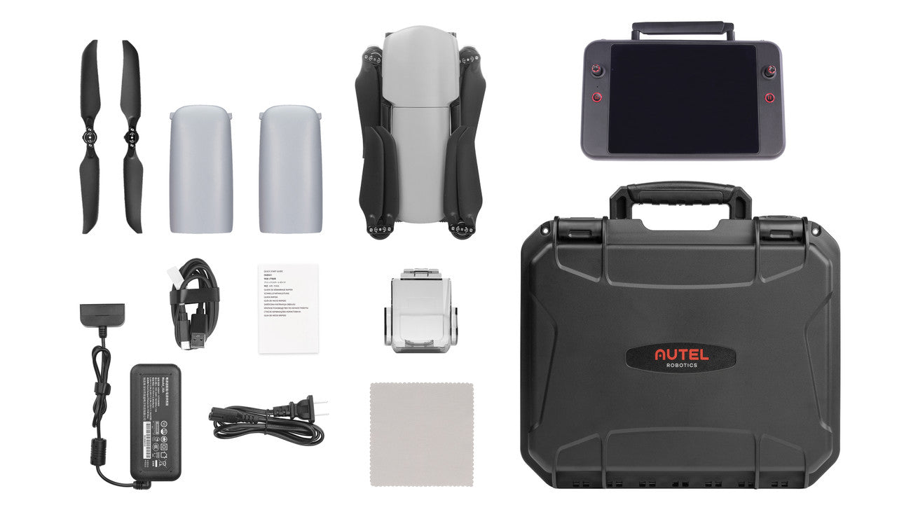
Autel - EVO Max 4N
Sale price$12,599.00

Autel Robotics EVO II V3 640T Gimbal Camera
Sale price$3,359.00


DJI - SDC to DJI Matrice 4E/4T Power Fast Charging Cable
Sale price$55.00


SOTEN DUAL BUNDLE Public Safety Package w TAITEN
Sale price$23,840.00
DJI - SDC to DJI Mavic 3 Series Fast Charge Cable
Sale price$19.00
Autel - EVO MAX 4T XE Bundle (Nest)
Sale price$8,999.00


Autel Robotics - EVO Lite 640T Enterprise Standard Package
Sale price$3,359.00
Autel Robotics - EVO Lite 640T Enterprise 7.9" RC Premium Package
Sale price$4,239.00
Autel Robotics - EVO Lite 640T Enterprise Premium Package
Sale price$3,879.00